


Tucked away between Telluride and Moab in Colorado’s Western Slope is the rugged and remote landscape of the West End. Seemingly unspoiled for first-time visitors who might not expect a place like this to still exist in Colorado, the West End’s untamed wilderness rivals any other in the state.
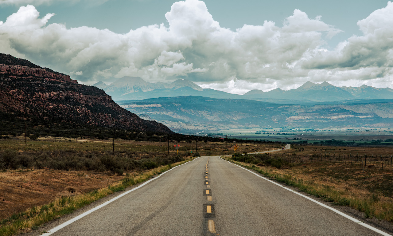
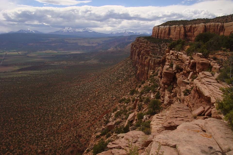
Identified by red rock canyons, expansive valleys and plateaus, complete with distant mountain views, the West End’s varied terrain and proximity to Moab, put it on track to be one of the biggest outdoor recreation destinations in Colorado. Plus, its quiet corners are perfect for a true retreat in the mountains. Discover why its off-the-beaten-path appeal is the best way for you to find your wild in Colorado.
So, where exactly is the West End? Roughly a five-hour drive southwest of Denver, the West End’s eastern edge lies near the town of Norwood less than 50 miles from Montrose and on the western side, it extends up towards Gateway, just 50 miles southwest of Grand Junction.
The area encompasses the small towns of Norwood, Naturita/Nucla, Gateway, Redvale, Bedrock and Paradox. The Uncompaghre National Forest lies to the east of Paradox Valley, appropriately named after the paradoxical course of the Dolores River, which instead of flowing down the length of the valley, the river cuts across the middle.
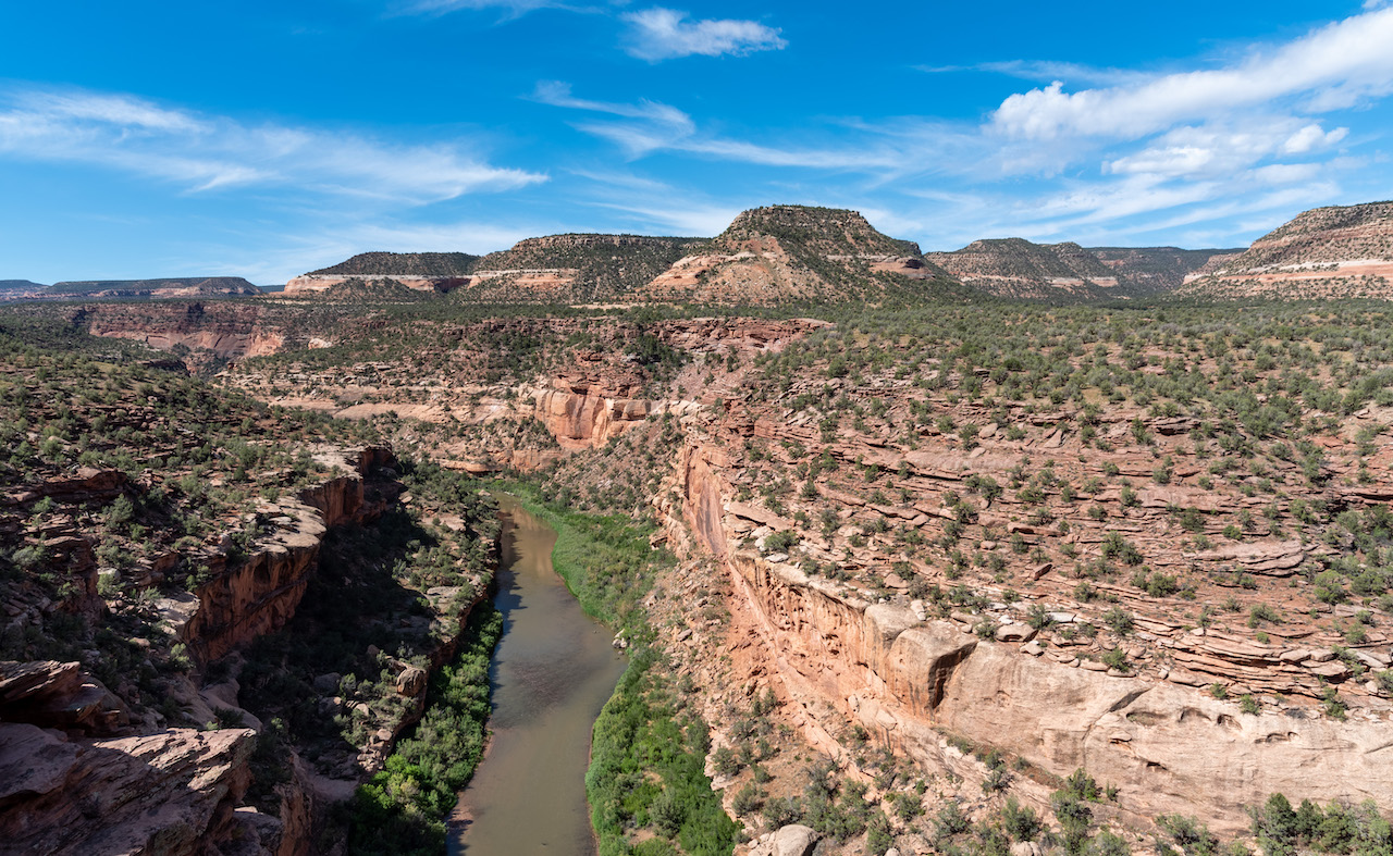
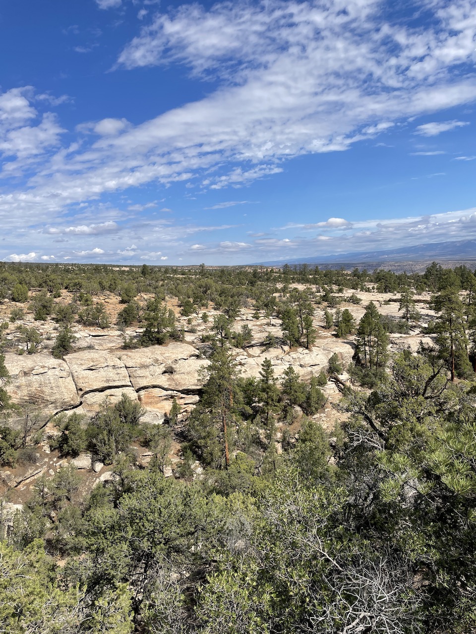
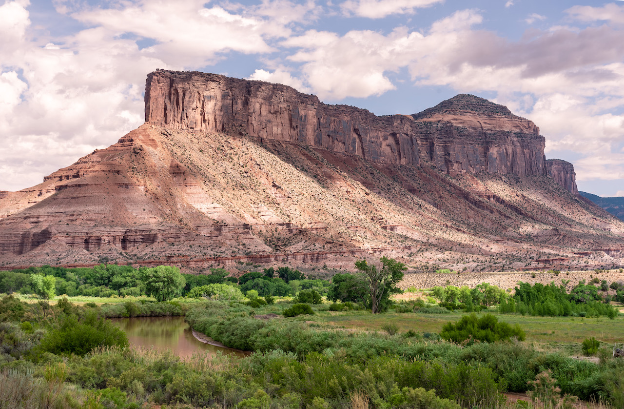
Steeped in a rich mining and agricultural history, the West End’s relics of the past lay the foundation for this unique corner of the state. The slow-paced, quiet atmosphere complements the varied and vast wilderness where towering red rock canyons split a vast valley and high desert mesas look down on the confluence of two river systems.
Due to its remoteness, the West End hasn’t always been known to be user-friendly for travelers looking to explore. But it’s also its rugged and remote aspects that make it attractive to those looking to avoid the crowds that are often found on Colorado trails.
“This area attracts a different facet of people,” says Paula Brown, the marketing coordinator for the West End chamber of commerce. “We are working on being user-friendly.” She’s referring to the area’s lack of signage or billboards — something they boast about, but also recognize the need for. Part of this initiative comes as more people are discovering their trails and with big plans to add more.
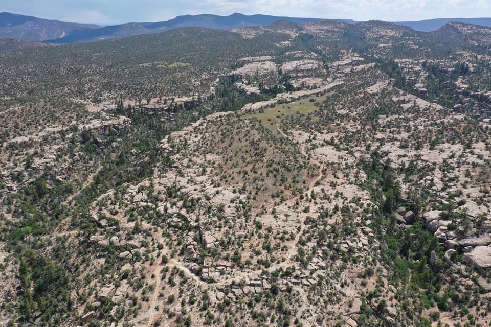
For years, the old mining and ranching roads created hundreds of miles of backcountry trails throughout the wild landscape that were mostly accessed by local mountain bikers and hikers. With little to no signage, maps, or guidebooks, first-time visitors had a hard time finding their way.
Recognizing what they have there and with hopes to revitalize the economy, the small isolated communities of the West End have come together to rebrand the area as an outdoor recreation Mecca in Colorado, particularly for mountain and gravel biking. Some might even be tempted to call it the next Moab. But to make a comparison to Moab would be wrong according to Brown. “We are not going to be Moab. We have a specific niche here.”
One such effort was the formation of the West End Trails Alliance (WETA). It was formed to help promote biking and hiking in the area. “We believe our unique geographical features can make us stand out to those looking for a more ‘wilderness’ experience,” said Paul Koski, a local trails guru and co-founder of WETA.
He also currently resides as the project coordinator of the Sawtooth and Naturita Flats Singletrack Trails Project. This project has been underway for several years now, and once complete will offer 54 miles of singletrack trails within the Sawtooth and Naturita Flattops Areas. It will feature a multitude of mountain biking and hiking options within a short distance from the local communities of Nucla and Naturita. “With a funding campaign underway, we hope to begin construction of the systems after receiving approval from the BLM,” said Koski.
Currently, there are many riding opportunities throughout the West End from the Thunder Trails and Burn Canyon Trails systems outside of Norwood to the Nucla Range Loops and Paradox Trail singletrack systems close to Nucla and Naturita. The Paradox Trail, which Kioski was largely responsible for its development, is a 118-mile trail that links to two other larger systems — the Tabeguache Trail and the Kokopelli Trail — creating a 360-mile route called the Grand Loop.
Another popular trail is the Rimrocker Trail, a 160-mile route connecting Montrose to Moab, cutting through the heart of the valley. Numerous other smaller local trails offer a variety of loop and “out n’ back” rides and hikes, most of which can now be found on westendtrails.org.
One of the best ways to pick up these trails is along the Unaweep-Tabeguache scenic byway. “It’s the pipeline to our area. It’s used as a catalyst to our outdoor recreation,” says Brown.
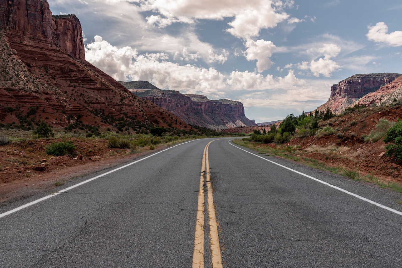
Cutting through a canyon most of the way, the 133-mile scenic byway is engulfed by red sandstone formations and eroded cliff walls of the Uncompaghre Plateau. Hikers, bikers and motorists travel through canyons, mountains and ancient archeological sites that hug the Dolores and San Miguel Rivers.
Steeped in history, the byway offers many points of interest that identify the area’s past including petroglyphs, old mining towns and the famed Hanging Flume — the remains of an engineering marvel built in 1891 designed to carry water for mining in the area.
Highway 141 runs from Grand Junction to Placerville (where it meets up with HWY 62 to head to Ridgway). Along the way, travelers will discover dispersed primitive campsites, trails, public land access and so many more ways to experience the land.
Echoing the spirit of the Wild West, don’t expect the crowds that Rocky Mountain National Park draws or the uber-accessible trails you’ll find on the Front Range, but do expect to find a place that is still raw and exposed as its true self. Demanding a certain kind of wanderlust that requires a map, self-sufficiency and experience, the West End is only for the adventurous spirit.
To learn more about the West End trail systems, go to westendtrails.org for a comprehensive description of existing trails and camping options in the area. And for more to do in the area, visit westendcolorado.com