


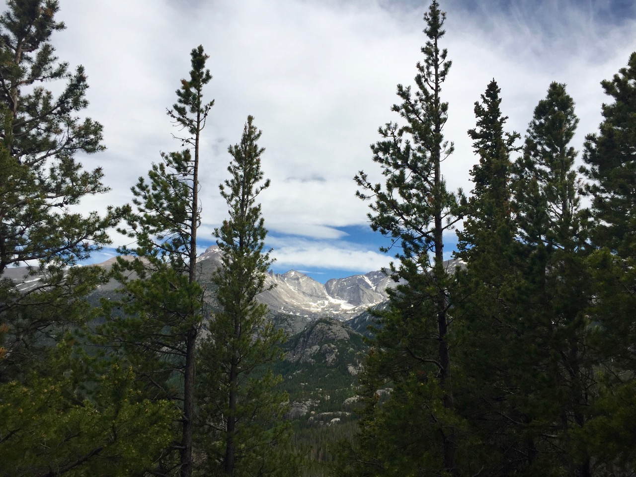
The United States is home to nearly 60 national parks. With over 300 miles of trails, 147 lakes and 450 miles of streams Rocky Mountain National Park has become the fourth most visited national park in the country. The park is home to 124 named peaks — 20 of which are over 13,000 feet — and straddles the Continental Divide allowing access to both the east and west slopes of the Rocky Mountains.
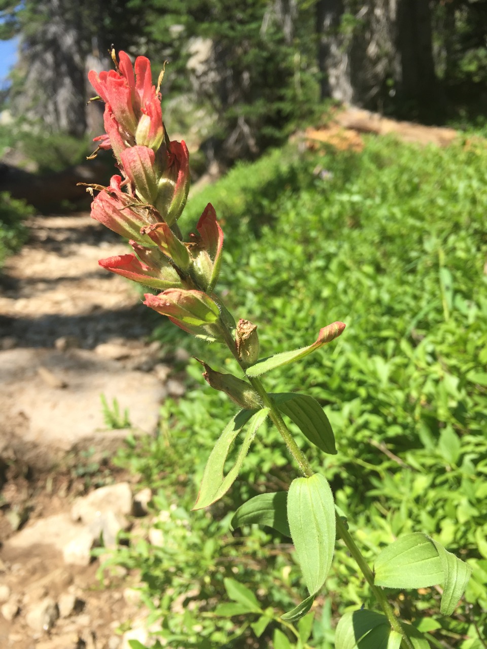
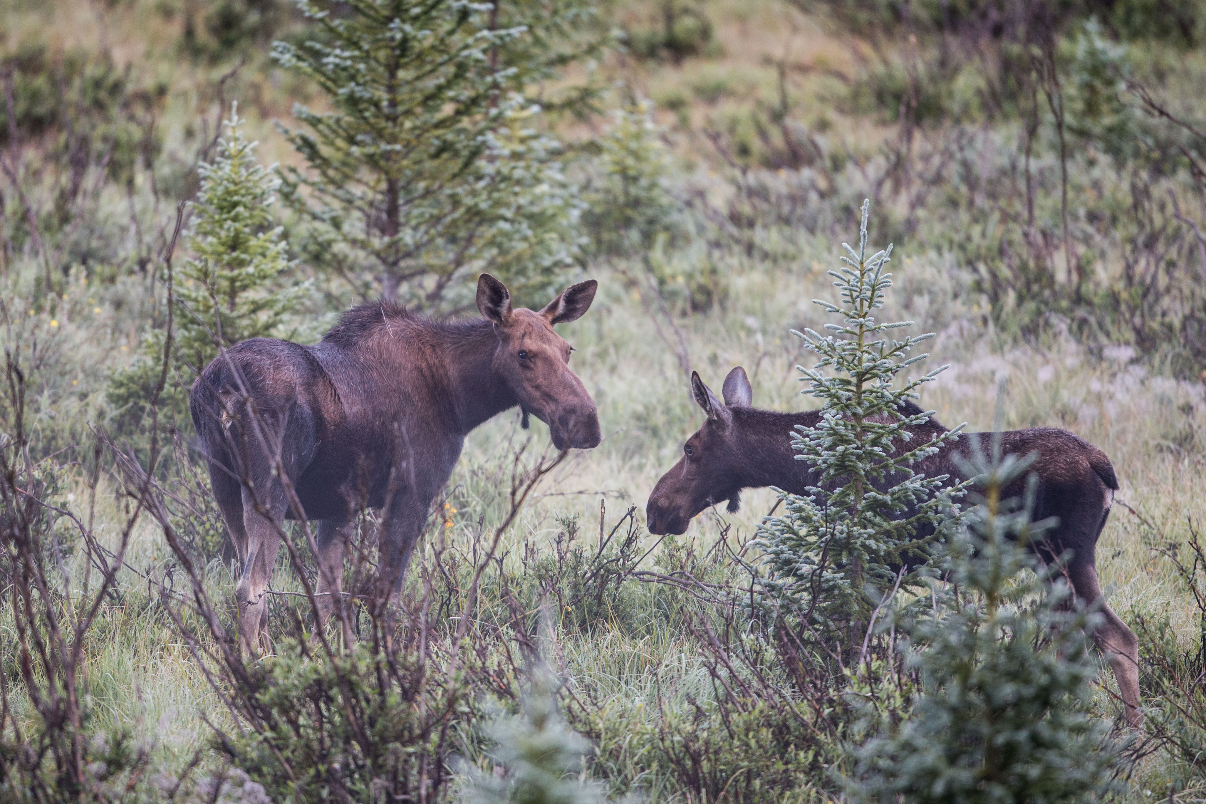
The park has much more to offer than incredible mountain scenery. Over 280 species of birds, 11 fish, 142 species of butterflies and 1,100 plants call the park home. Lynx, wolverines, bears, bighorn sheep, coyotes, deer, elk, moose and mountain lions are among the 66 mammals living in the park.
There is almost too much to do in Rocky Mountain National Park. But you can avoid some of the crowds and see some of the less traveled gems the park has to offer with the help of this guide.
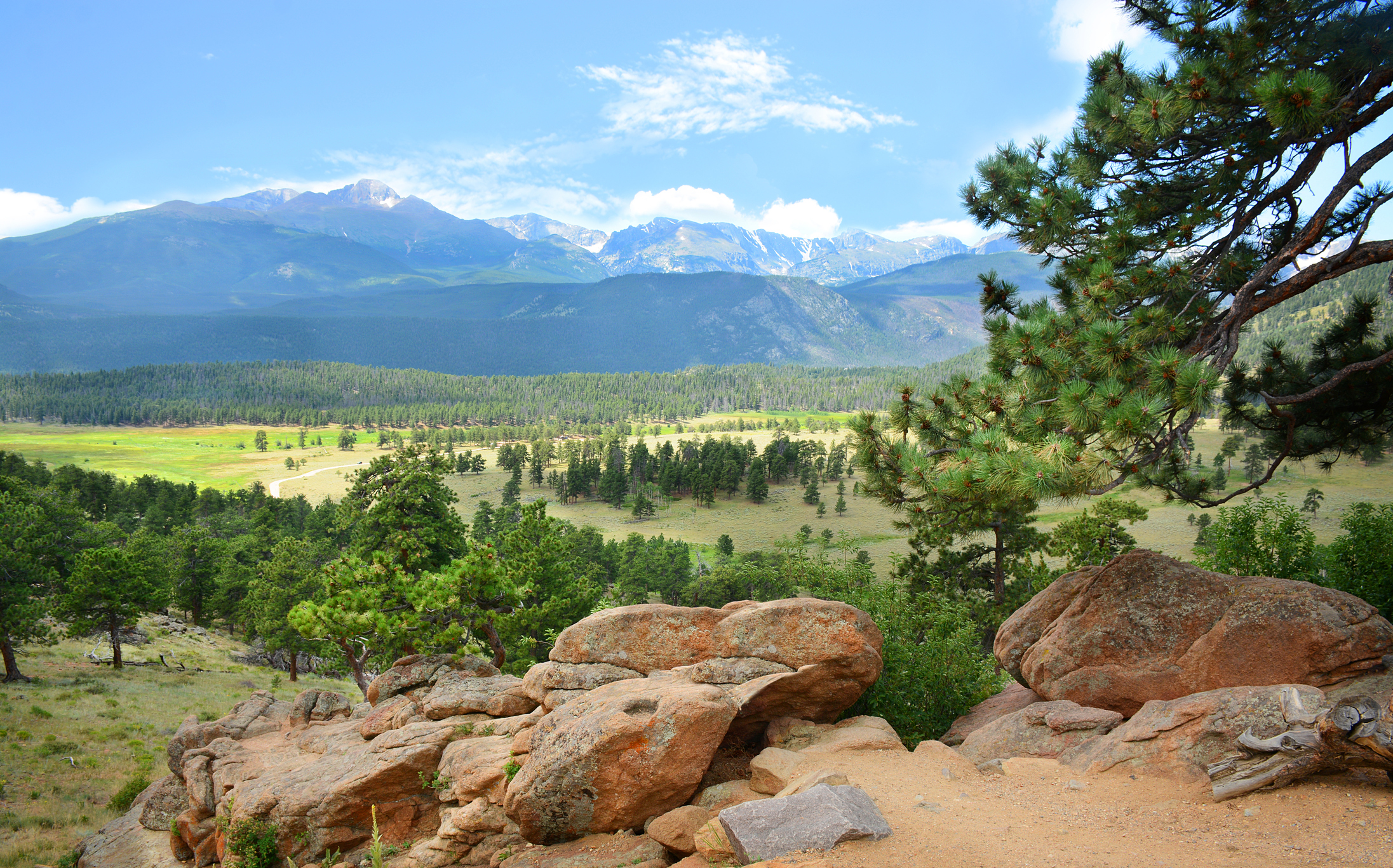
East Side
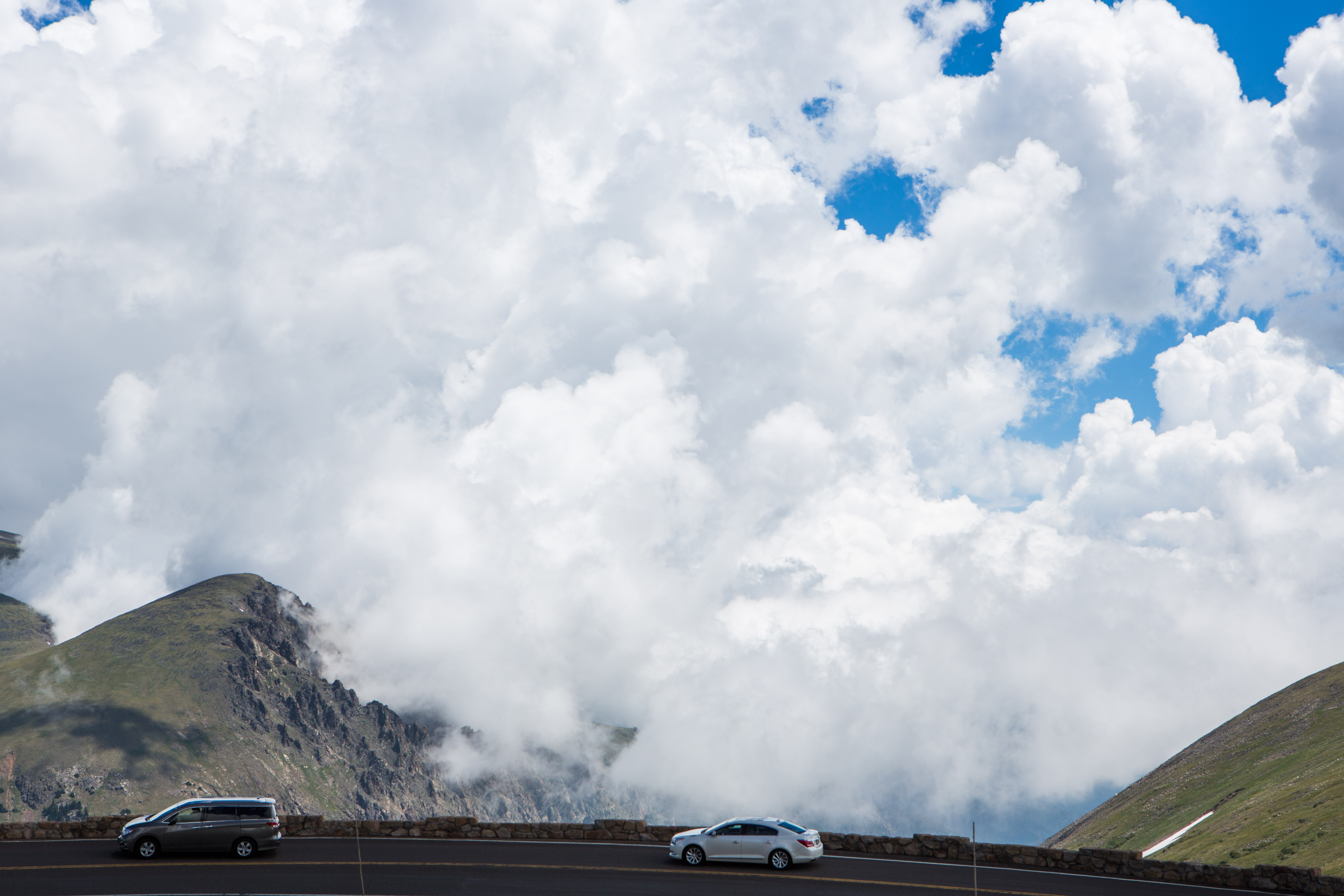
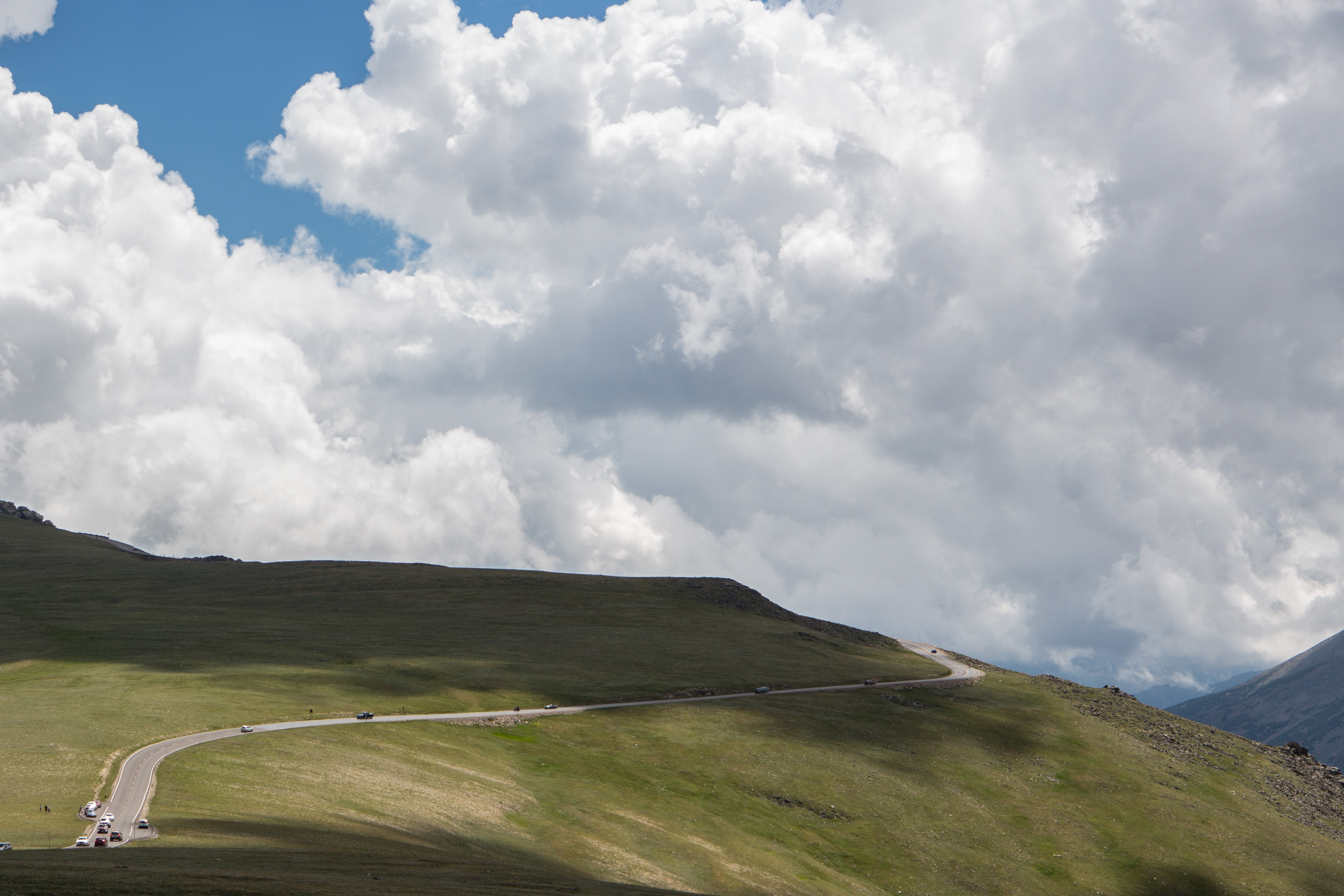
The east side of the park sees more visitors than the west. Here you’ll find Bear Lake, the Mummy Range, Wild Basin and Longs Peak. If you prefer to drive take Old Fall River Road or Trail Ridge Road to the Alpine Visitor Center. There are plenty of photo worthy pull offs and short hikes along the way.
Eagle Cliff Mountain
Trailhead: Moraine Park Museum
Distance: 0.5 miles
Difficulty: Easy
What you’ll see: Views of the Continental Divide and a rocky top perfect for light scrambling.
Homer Rouse
Trailhead: Fish Creek
Distance: 2.4 miles
Difficulty: Easy
What you’ll see: Aspen forests, framed mountain views and historic landmarks.
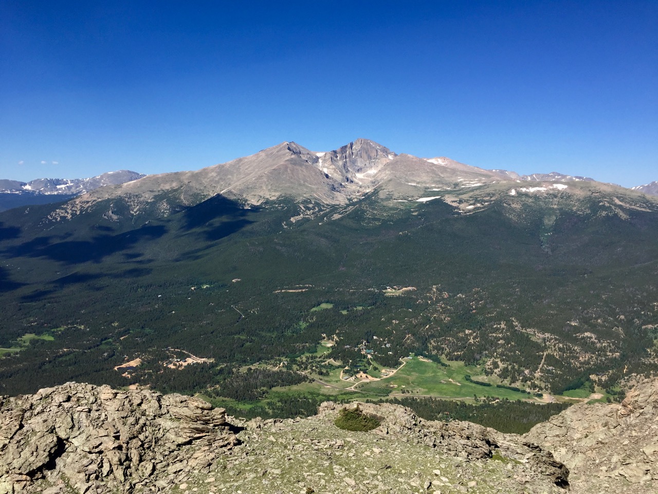
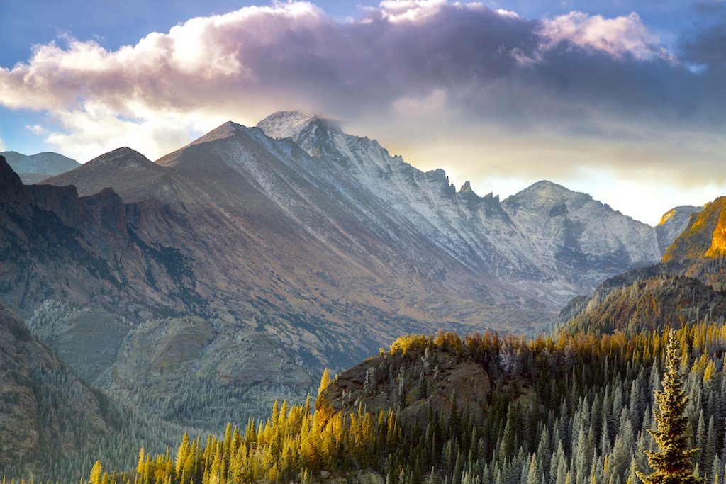
Peacock Pool
Trailhead: Longs Peak
Distance: 3.9 miles
Difficulty: Moderate
What you’ll see: Longs Peak, Mt. Meeker and one of the best sunrises the park has to offer.
Sandbeach Lake
Trailhead: Sandbeach Lake
Distance: 4.2 miles
Difficulty: Moderate
What you’ll see: Ponderosa forests, North St. Vrain Creek valley and a perfect sand beach in the middle of the mountains.
Lake Helene
Trailhead: Fern Lake
Distance: 5.7 miles
Difficulty: Moderate
What you’ll see: Lakes, waterfalls and numerous mountain views including Notchtop.
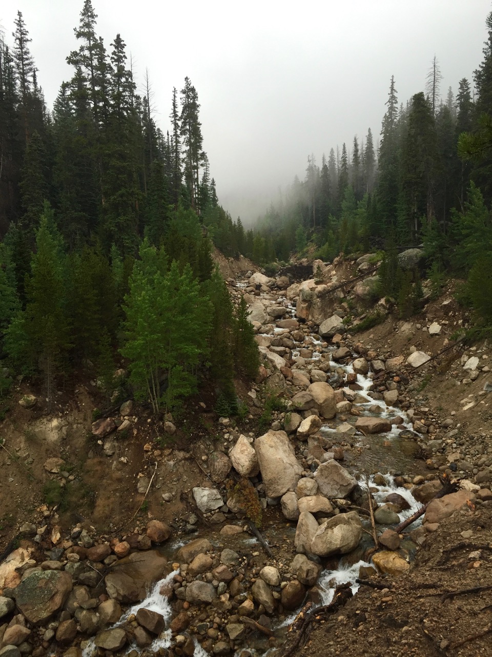
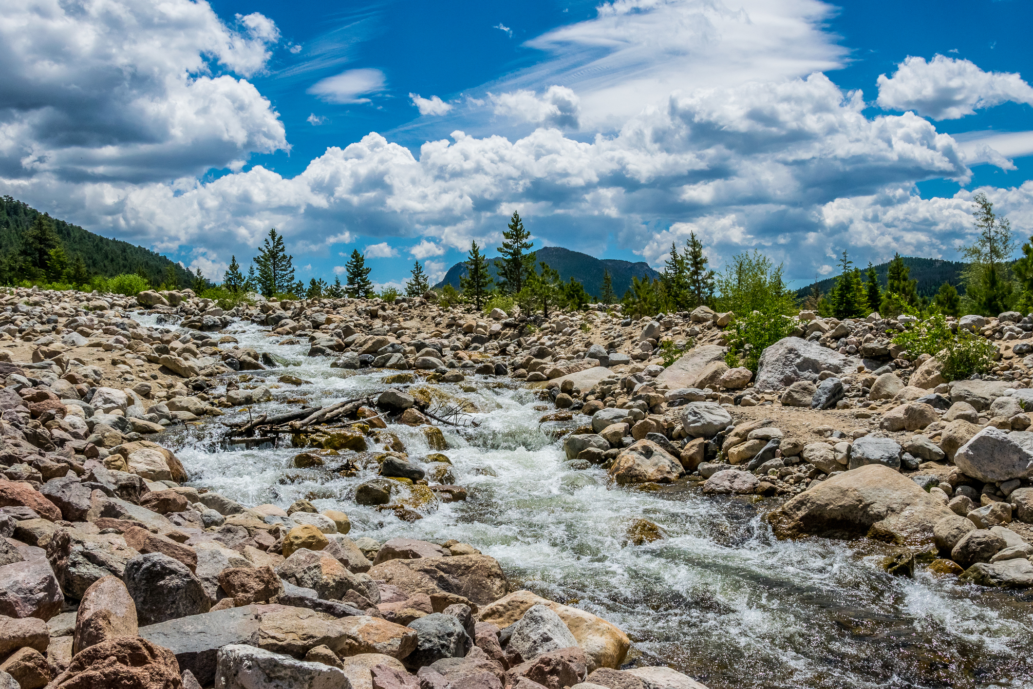
Mertensia Falls
Trailhead: Wild Basin
Distance: 6.2 miles
Difficulty: Hard
What you’ll see: Narrow rocky gorge, massive rushing falls and a plethora of Mertensia wildflowers.
Crystal Lake
Trailhead: Lawn Lake
Distance: 7.9 miles
Difficulty: Hard
What you’ll see: Miles of rivers, alpine landscapes and perfectly unhindered views of Longs Peak.
Other Hikes to Try:
Thousand Falls — Trailhead: Endovalley Picnic Area — Distance: 0.3 miles
Chaos Canyon Cascades — Trailhead: Bear Lake via Lake Haiyaha Trail — Distance: 1.8 miles
Glacier Falls — Trailhead: Glacier Gorge — Distance: 2.3 miles
Lookout Mountain — Trailhead: Horse Creek — Distance: 3.2 miles
Shelf Lake — Trailhead: Glacier Gorge — Distance: 4.7 miles
Blue Lake — Trailhead: Glacier Gorge — Distance: 5.5 miles
Lion Lakes — Trailhead: Wild Basin — Distance: 6.9 miles
Chiefs Head Peak — Trailhead: Glacier Gorge — Distance: 7.8 miles
Mount Alice — Trailhead: Wild Basin — Distance: 8.8 miles
Rowe Peak — Trailhead: Lawn Lake — Distance: 9.1 miles
Lake Louise — Trailhead: Dunraven — Distance: 10.9 miles
West Side
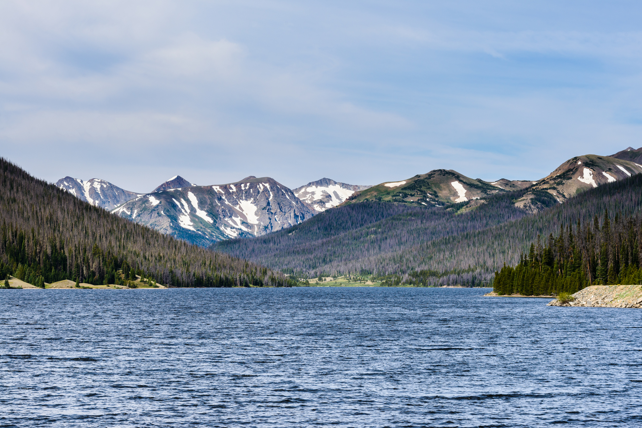
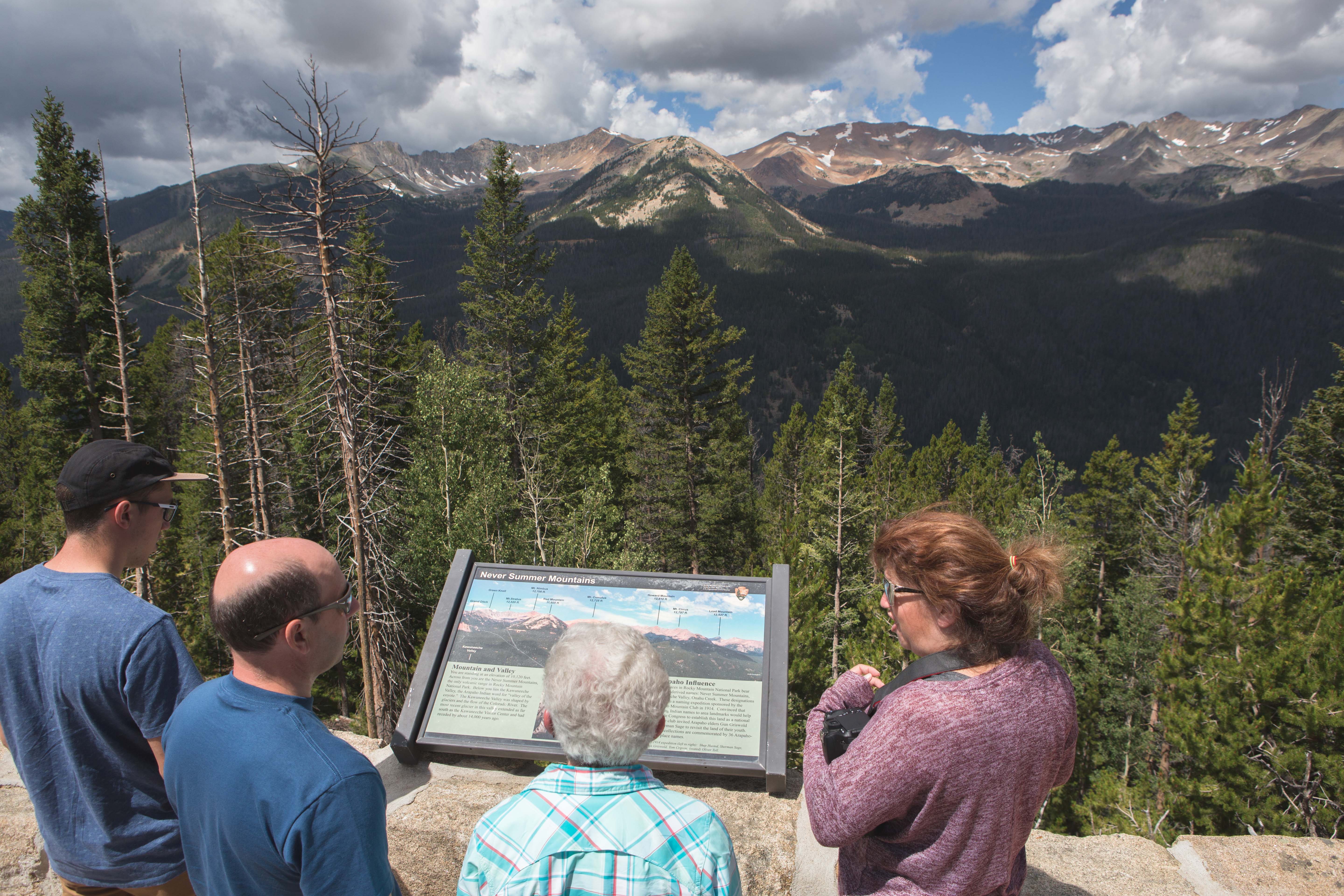
This side draws fewer visitors and tourists than the east side of RMNP. You’ll enjoy more solitude here if that is what you’re looking for. The western slope sees more precipitation than the east so scenery tends to be more green and lush. After a day of hiking explore nearby Grand Lake.
Lake Irene
Trailhead: Lake Irene Picnic Area
Distance: 0.5 miles
Difficulty: Easy
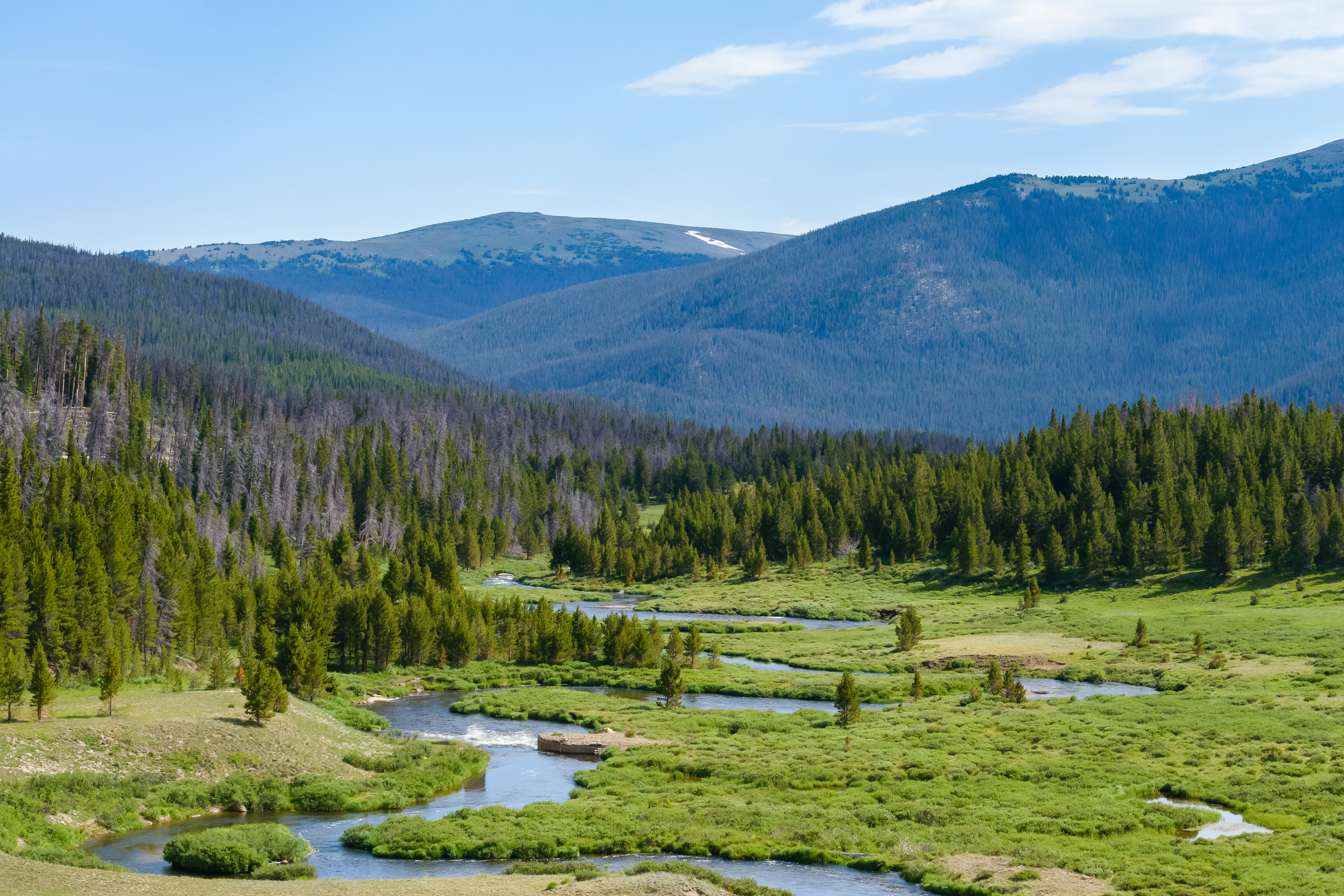
What you’ll see: Overlooks of meadows, distant meadows and the Colorado River.
Thunder Mountain
Trailhead: Never Summer
Distance: 2.0 miles
Difficulty: Easy
What you’ll see: Grassy slopes, rock scrambling and views of nearby Lulu Mountain and the Never Summer Range.
Cascade Falls
Trailhead: North Inlet
Distance: 3.6 miles
Difficulty: Easy
What you’ll see: North Inlet Creek, Summerland Park and wildlife including moose, elk and deer.
Shadow Mountain
Trailhead: East Shore
Distance: 5.6 miles
Difficulty: Hard
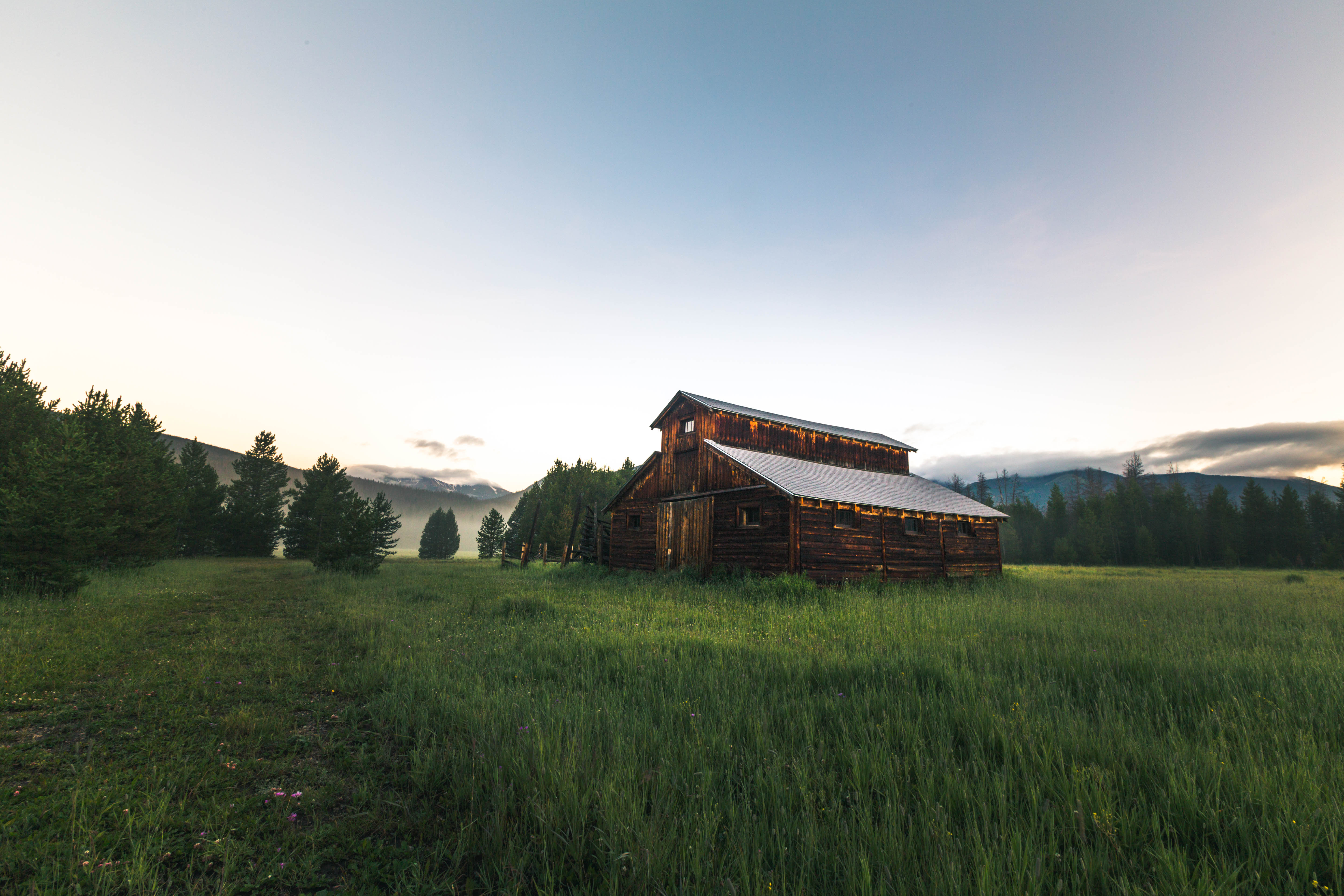
What you’ll see: Shadow Mountain Lake, Grand Lake and the Shadow Mountain Patrol Cabin built in 1933.
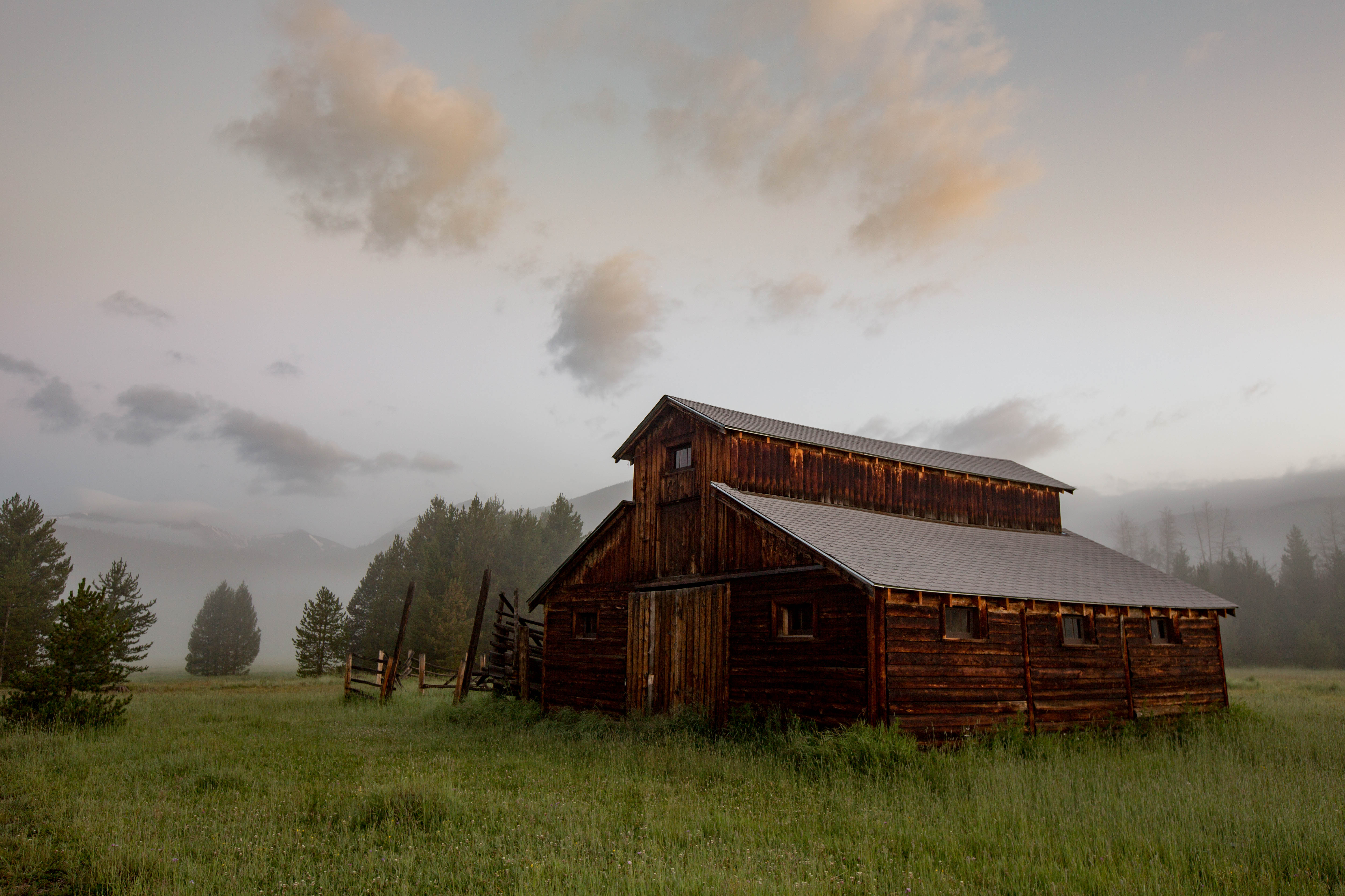
Bonus: if you drive to 20631 Trail Ridge Road you’ll find Buckaroo Barn you’ll find a 1942 wood cabin. It is one of the few barns remaining in the park.
Other Hikes to Try:
Lake Agnes — Trailhead: Lake Agnes — Distance: 0.8 miles
Green Mountain — Trailhead: Green Mountain — Distance: 1.7 miles
Big Meadows — Trailhead: Green Mountain — Distance: 2.0 miles
Snow Lake — Trailhead: American Lakes — Distance: 3.9 miles
Watanga Lake — Trailhead: Roaring Fork — Distance: 4.8 miles
Granite Falls — Trailhead: Green Mountain — Distance: 5.3 miles
Red Mountain — Trailhead: Colorado River — Distance: 6.2 miles
Bench Lake — Trailhead: North Inlet — Distance: 7.3 miles
Andrews Peak — Trailhead: East Inlet — Distance: 8.2 miles
For even more hikes, check out our map.
Basic Information
Entrance Fees and Passes
1-Day Car Pass – $20
1-Day Per Person Pass – $10
1-Day Motorcycle Pass – $20
7-Day Car Pass – $30
7-Day Per Person Pass – $15
7-Day Motorcycle Pass – $25
Shuttles
From June 25 through September 11 a free daily hiker shuttle runs from the Estes Park Visitor Center to the Beaver Meadows Visitor Center and the Park & Ride on Bear Lake Road. Weekend service continues September 17 through October 10. The first bus leaves the Estes Park Visitor Center at 7:30 a.m. The last bus departs from the Park & Ride at 8 p.m. Entrance into the park is free for anyone on the shuttle.
Once at the Park & Ride two shuttles carry hikers out to trailheads from 7 a.m. to 7:30 p.m. May 28 through October 10. The Moraine Park Shuttle makes stops at Sprague Lake/Glacier Creek Livery, Hollowell Park, Tuxedo Park, Moraine Park Discovery Center, Moraine Park Campground, Cub Lake and Fern Lake. The Bear Lake shuttle stops at Bierstadt Lake, Glacier Gorge and Bear Lake.
Shuttles do not run on the west side of the park or across Trail Ridge Road. Shuttles do not have bike racks.
Camping
Camping is available in the park at designated locations only. There are five campgrounds: Aspenglen, Glacier Basin, Longs Peak, Moraine Park and Timber Creek, as well as numerous backcountry locations. Aspenglen and Glacier Basin are only open during the summer. Reservations are highly encouraged. Reservations are encouraged for Moraine Park during the summer but the campground is first-come, first-served during the winter. The Longs Peak and Timber Creek campgrounds are open year-round and are first-come, first-served.
Between June 1 and September 30 campers are limited to seven nights in the park. The limit is raised to 21 nights the remainder of the year. Backcountry permits are required for all other camping locations. Visit recreation.gov for reservations.