


Do you love visiting Rocky Mountain National Park, but hate dealing with the crowds? Overflowing parking lots, traffic and chatter aren’t typically things you want to encounter when heading out for a day of exploring the outdoors. While Rocky Mountain National Park is one of the most beautiful mountain destinations in the country, these other factors can be overwhelming while driving along Trail Ridge Road or starting your hike at Bear Lake.
READ: Best Hidden Hikes in Rocky Mountain National Park
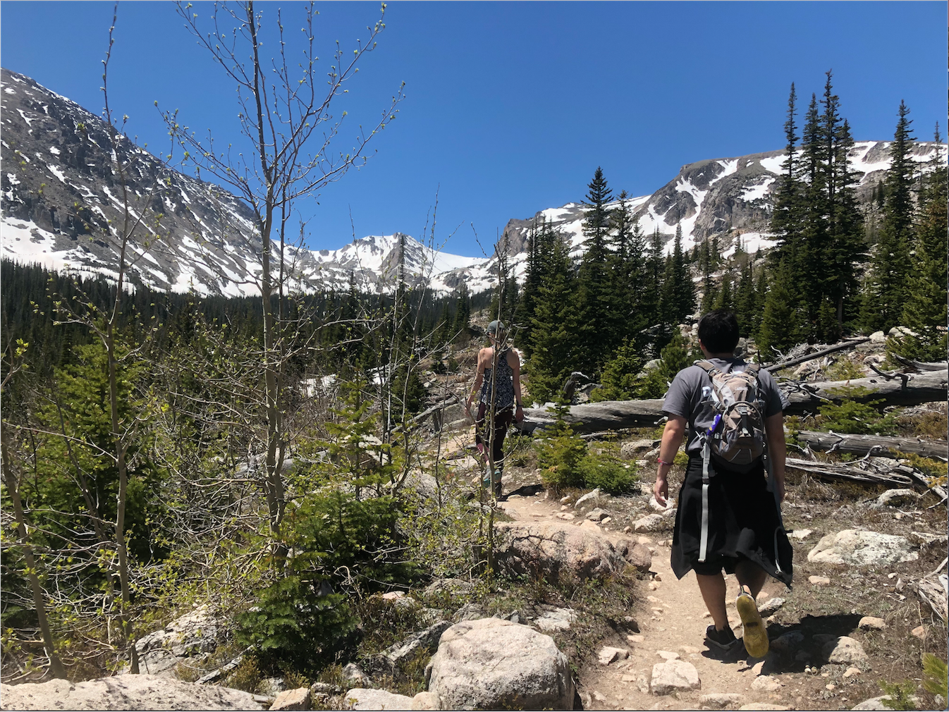
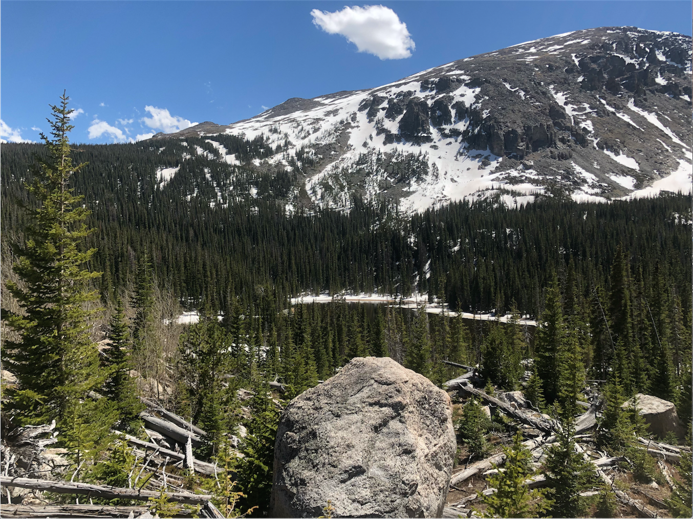
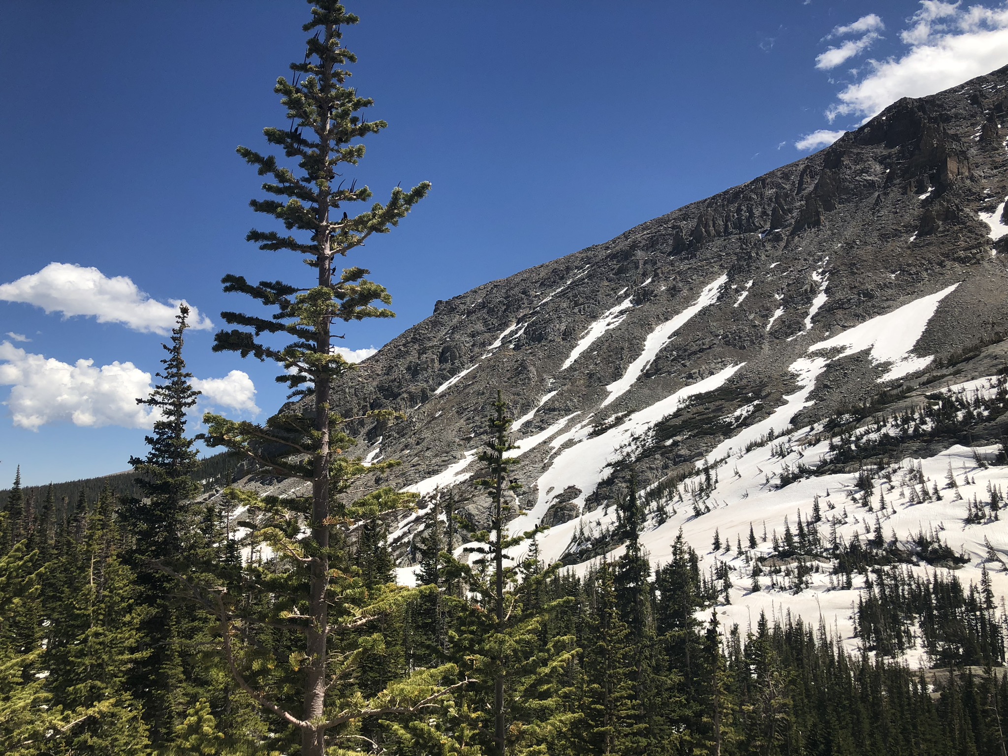
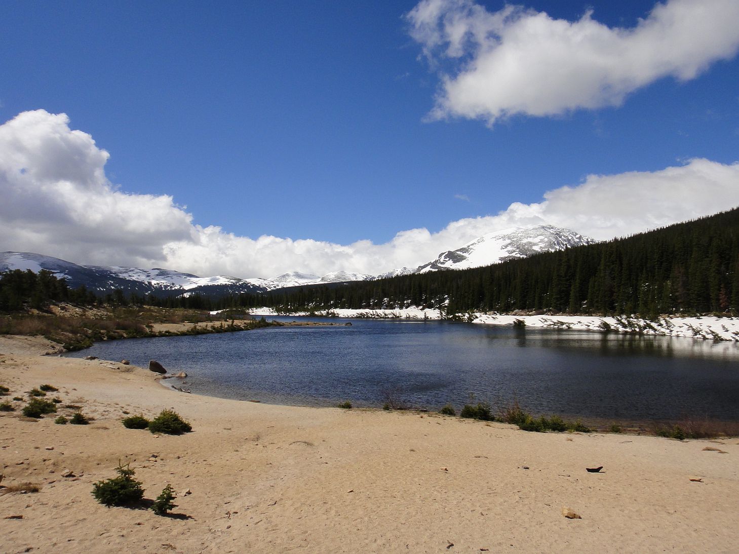
Wild Basin, an area of Rocky Mountain National Park on the southeastern side, is a better-kept secret. While part of the park, Wild Basin isn’t accessed by the main road and is more remote, deterring the busloads of tourists heading into the main park in the summertime. Despite the lack of crowds, the beauty of this area shouldn’t be overlooked, boasting waterfalls, remote alpine and subalpine lakes and views of some of the area’s most impressive mountains, including Long’s Peak.
With varying trail lengths and difficulty, fishing lakes and backcountry access, Wild Basin has everything you could want for your outdoor adventure. This guide will give you insight into the trails of the area, as well as other ways to enjoy it. Get started at Wild Basin Trailhead, Finch Lake Trailhead, or Sandbeach Trailhead. To get there, take CO-7 to Country Road 84 that turns into Highway 115. It’s about a 30-minute drive from Estes Park
Wild Basin Trailhead
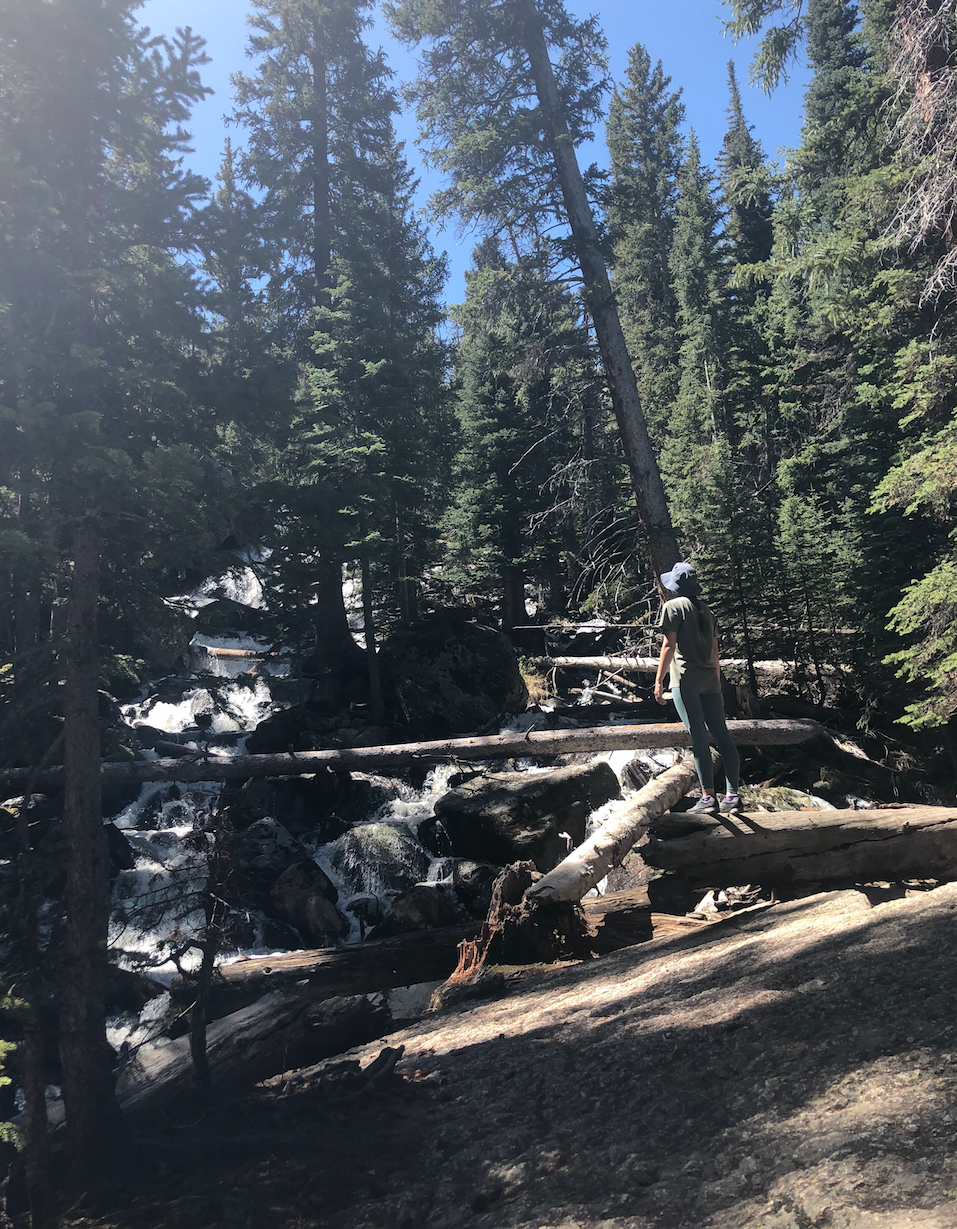
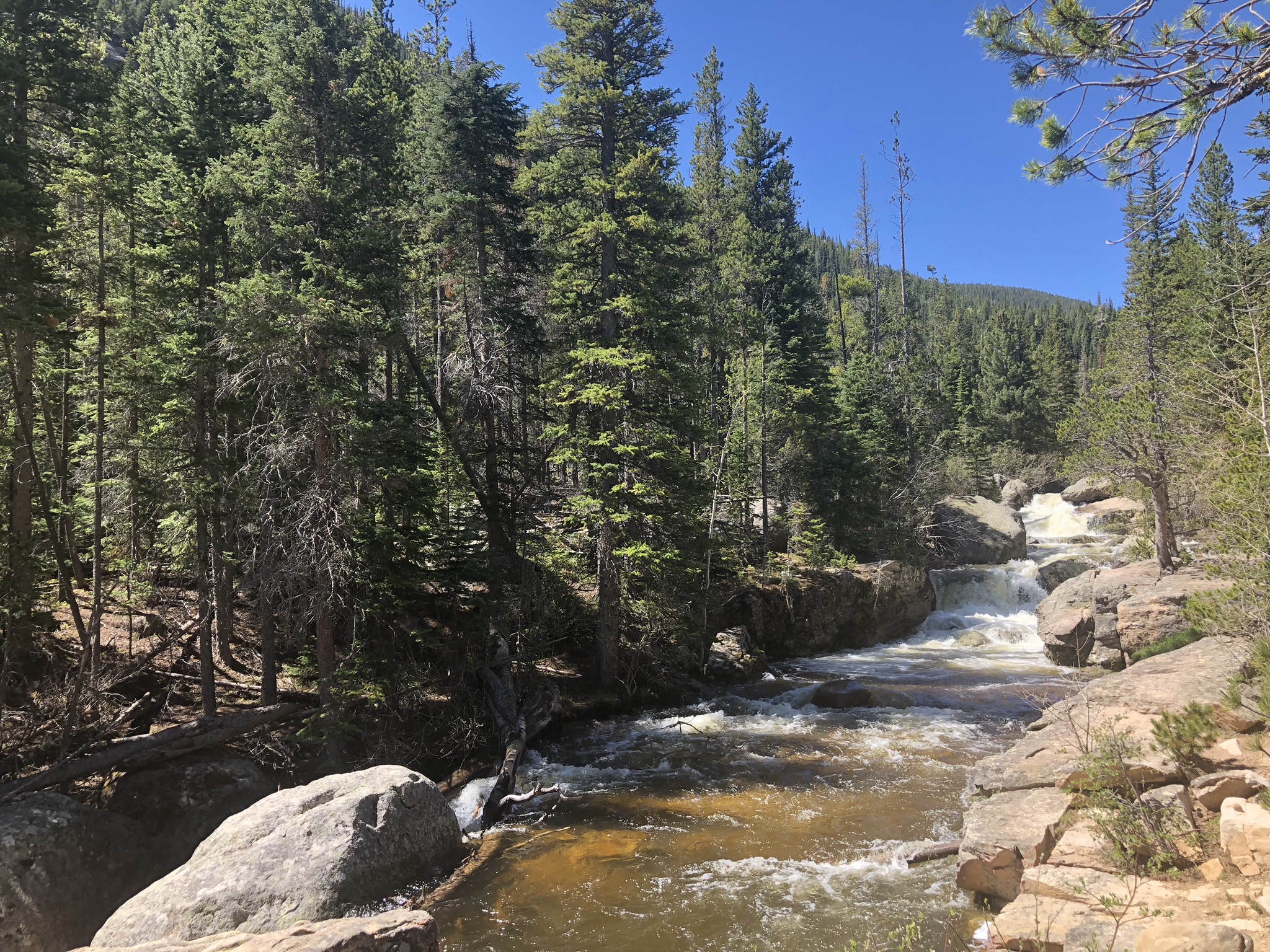
Wild Basin Trailhead is the most popular trailhead in the area – and for good reason. After only two miles into the trail, you’ll have seen three stunning waterfalls. If you plan on making big miles, you’ll get to see most of the other features on the way as well as get to the remote locations and lakes you’re craving.
Copeland Falls
Distance: 0.3 miles
Difficulty: Easy
What you’ll see: At less than a mile round trip, Copeland Falls gives you a good bang for your buck with two beautiful waterfalls and subalpine forest.
Calypso Cascades
Distance: 1.8 miles
Difficulty: Easy
What you’ll see: Waterfall after waterfall.
Ouzel Falls
Distance: 2.7 miles
Difficulty: Moderate
What you’ll see: Plenty of waterfalls, wildflowers and views of Long’s Peak and Mt. Meeker.
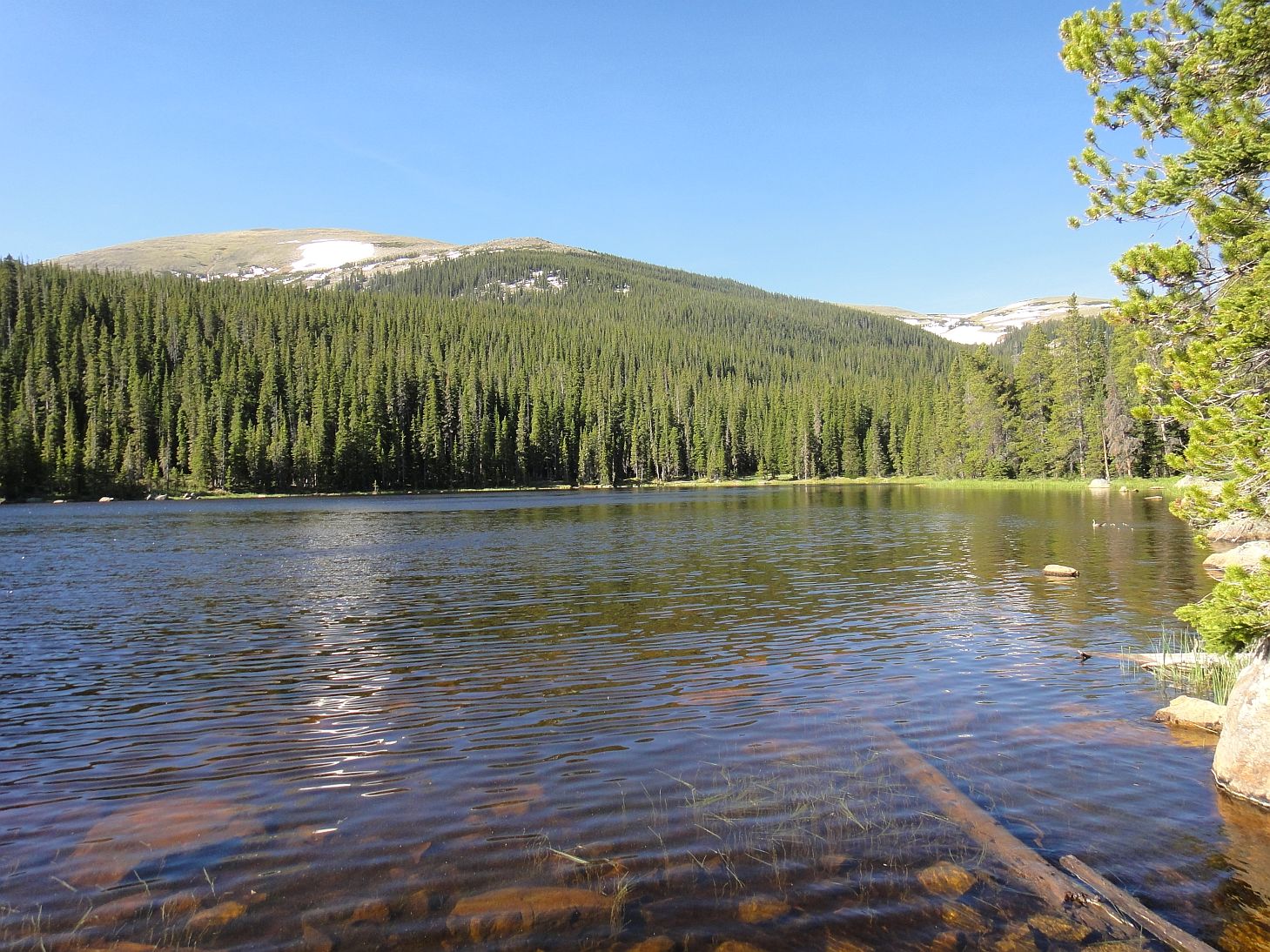
Ouzel Lake
Distance: 4.9 miles
Difficulty: Hard
What you’ll see: The subalpine Ouzel Lake, water ouzel birds, waterfalls and creeks as well as views of Mt. Copeland, Mahana Peak and Ouzel Peak.
Thunder Lake
Distance: 6.6 miles
Difficulty: Hard
What you’ll see: Forest canopy until you climb higher to see stunning views of Thunder Lake framed by Tanima Peak, Pilot Mountain and Mt. Alice. This lake is also known for its fish populations and does not require catch-and-release, so bring your pole if you’re planning on staying the night and cooking!
Lion Lake No. 1
Distance: 7 miles
Difficulty: Hard
What you’ll see: Subalpine and alpine forest and landscape, meadows, marsh, wildflowers and views of the sheer face of Mt. Alice.
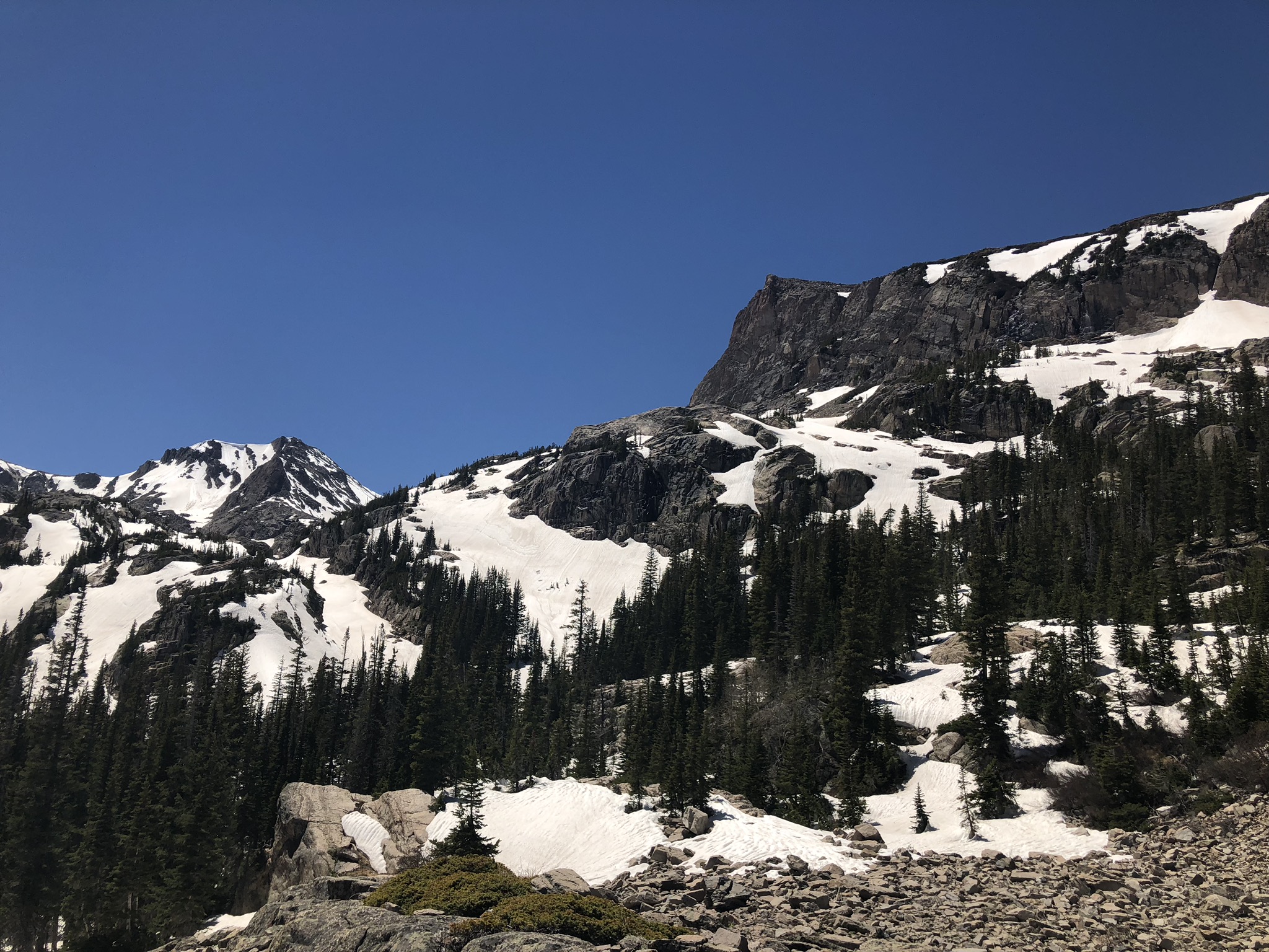
Bluebird Lake
Distance: 6.3 miles
Difficulty: Hard
What you’ll see: Boulder scrambling for the final quarter mile before reaching a pristine alpine lake with a surrounding cirque wall of Ouzel Peak, Mt. Copeland and Mahana Peak.
Finch Lake Trailhead
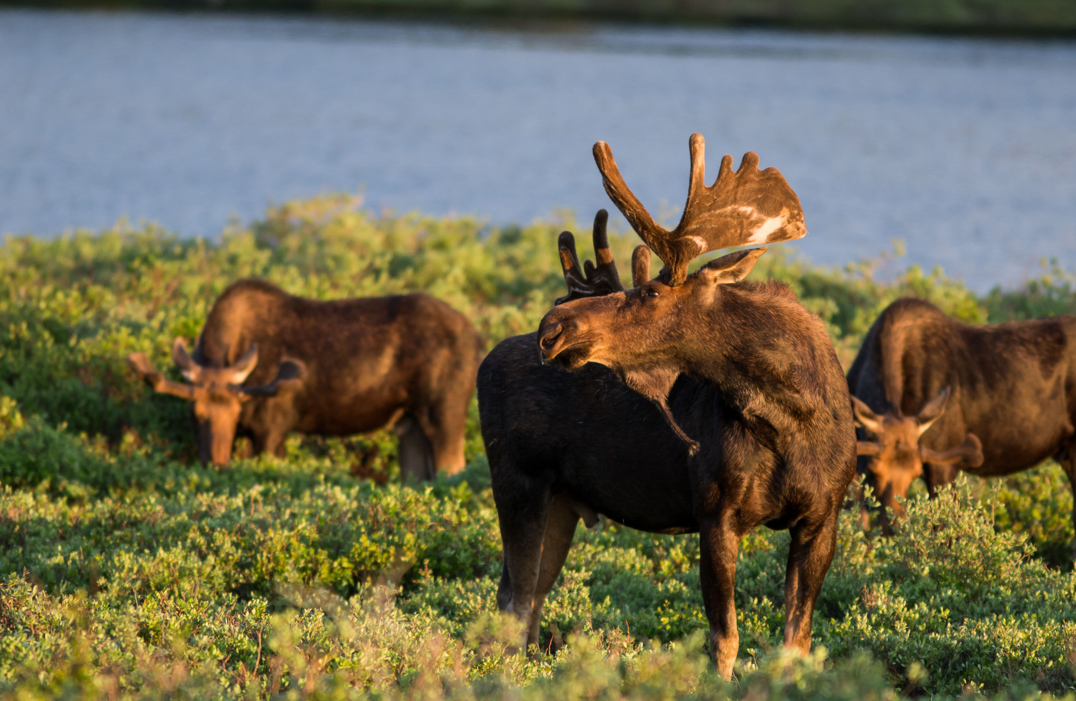
You’ll definitely find solitude if you start at Finch Lake Trailhead due to its harder and longer hikes. Of course, you’ll be well rewarded for your hard work with beautiful views, wildlife and crystal-clear lakes. To get there just backtrack a bit on Highway 115 from the Wild Basin Trailhead. If you’re hoping to spot some moose, the park says there have been more sightings on this side of the park. Make sure to check lakes and rivers with aquatic vegetation and willows for the best chance of spotting them.
Finch Lake
Distance: 4.5 miles
Difficulty: Hard
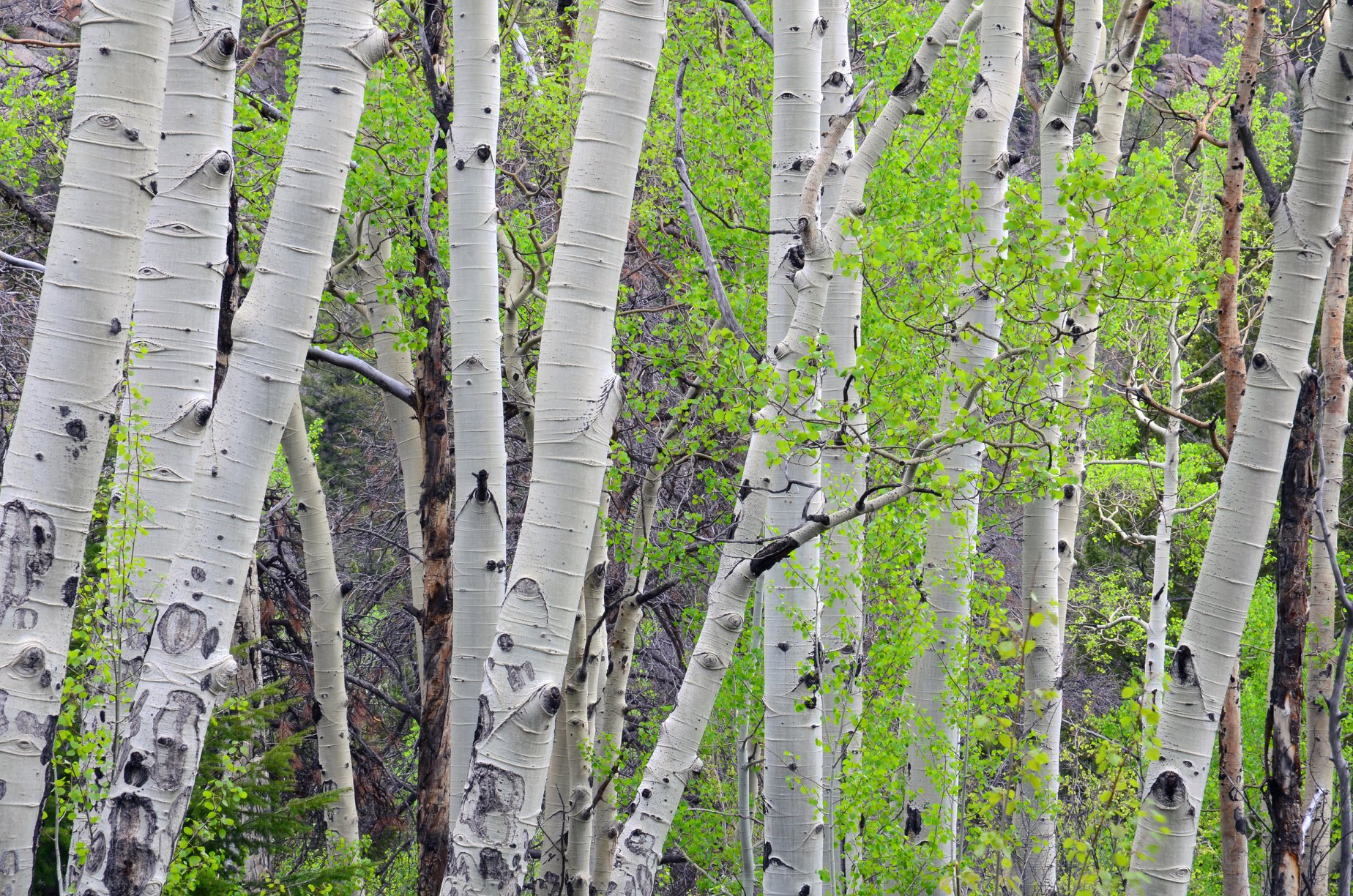
What you’ll see: Subalpine lake and wildlife – moose if you’re lucky! If you hit this trail in early fall, it provides great golden Aspen views.
Pear Lake
Distance: 6.5 miles
Difficulty: Hard
What you’ll see: The alpine Pear Lake, Ponderosa pine and aspen groves and views of Mt. Meeker.
Sandbeach Lake Trailhead
Sandbeach Lake Trailhead takes you to one of Rocky Mountain National Park’s larger subalpine lakes after weaving through plenty of viewpoints and impressive pines. To get there, go back towards CO-7. This trail head is right after 84 splits into Highway 115.
Sandbeach Lake
Distance: 4.2 miles
Difficulty: Hard
What you’ll see: Ponderosa pine forests, valley views, aspens, mountain views and Sandbeach Lake, one of the deepest lakes in Rocky Mountain National Park with a maximum depth of 50 feet.
Backpacking
If you’re planning on doing one of the longer hikes, you may want to break the miles up into two or three days. There are backcountry campsites at each of the lakes and at other points along the trail. Check out the campsite map here and request a wilderness campsite reservation here. As always, be sure to use Leave No Trace principles.
Fishing
Sport fishing is permitted throughout the park, with the exception of a few sensitive lakes. However, there are strict rules to preserve the ecosystems. A Colorado fishing license is required, only hand-held rods or lines are acceptable and lead sinkers are discouraged.
Below the Wild Basin lakes are listed based on their open water status, meaning catch-and-release is not required, or catch-and-release water status. Check signs in the area for lakes not listed.
Open water – Thunder Lake. Catch-and-release – Ouzel Lake and Creek, Sandbeach Lake and Creek, Pear Lake and Creek.