


So you’re ready to attempt your first fourteener. You’ve gone through the checklist of essentials to take: water, layers, snacks, a light. You know the tips for climbing that up you’re chances of success. You’re ready to hit the trail.
You might not be ready to fully commit to Long’s Peak, Snowmass Mountain or “The Deadly Bells” but you do want to conquer one of the beasts of the Rocky Mountains. Put your limits and abilities to the test with one of these beginner fourteeners.
READ: How to Survive Your First Fourteener
The Colorado Mountain Club has an unwritten rule saying a summit of a fourteener is only valid if it has at least a 3,000-foot elevation gain. While there are some exceptions a few of these trails don’t reach the 3,000-foot minimum, you can ignore the rule. When you reach the summit of your chosen mountain look around and know that you are standing at a point over 14,000 feet.
Some of these trails are highly trafficked. Please stay on designated trails to prevent erosion.
1. Mt. Evans – 14,264 ft
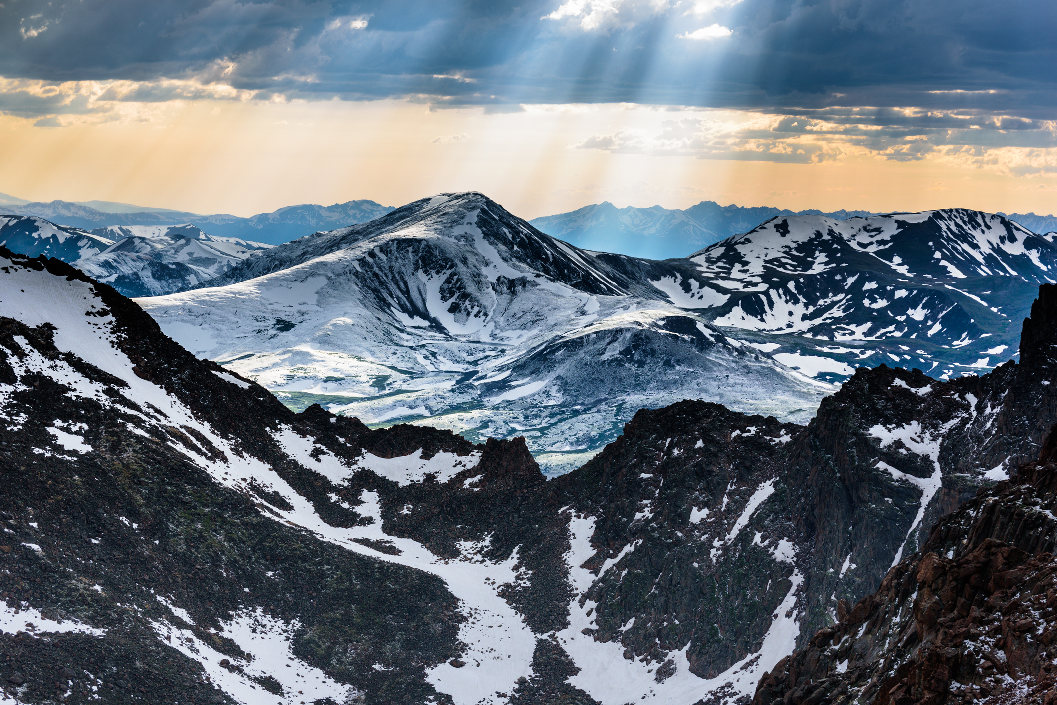 The view of Colorado from the summit of Mt. Evans during a clearing storm via Thinkstock.
Difficulty: Moderate
Elevation Gain: 1,400 ft
Round-trip Distance: 5 miles
Round-trip Time: 4 hours
Starting Location: Georgetown
A paved road can take drivers or cyclists to the top of Mt. Evans. But start at Summit Lake for a 5-mile round-trip hike on the easiest fourteeners for eager hikers to start on. If you are a stickler for rules and want to achieve the 3,000-foot limit start from Chicago Lakes.
2. Mt. Sherman – 14,036 ft

Difficulty: Moderate
Elevation Gain: 2,400 ft
Round-trip Distance: 6 miles
Round-trip Time: 8 hours
Starting Location: Fairplay
The trail to Mt. Sherman starts in Leavick — a town established in 1873 for mining that is long since abandoned. The mountain is owned by The Day Mine Company of Leadville and hikers will pass several abandoned mines including the Dauntless and the Hilltop Mine.
3. Mt. Bierstadt – 14,060 ft
 Hikers and scenery on the trail up to the summit of 14,065 foot Mount Bierstadt via Thinkstock
Difficulty: Moderate
Elevation Gain: 2,400 ft
Round-trip Distance: 6 miles
Round-trip Time: 6 hours
Starting Location: Georgetown
To climb Mt. Bierstadt start from the Guanella Pass Trailhead — an easy 1.5-hour drive from Denver. The parking lot fills quickly so plan to start at the trailhead early. Get down in time for lunch and stop at nearby Tommyknocker Brewery for a celebratory meal and drink.
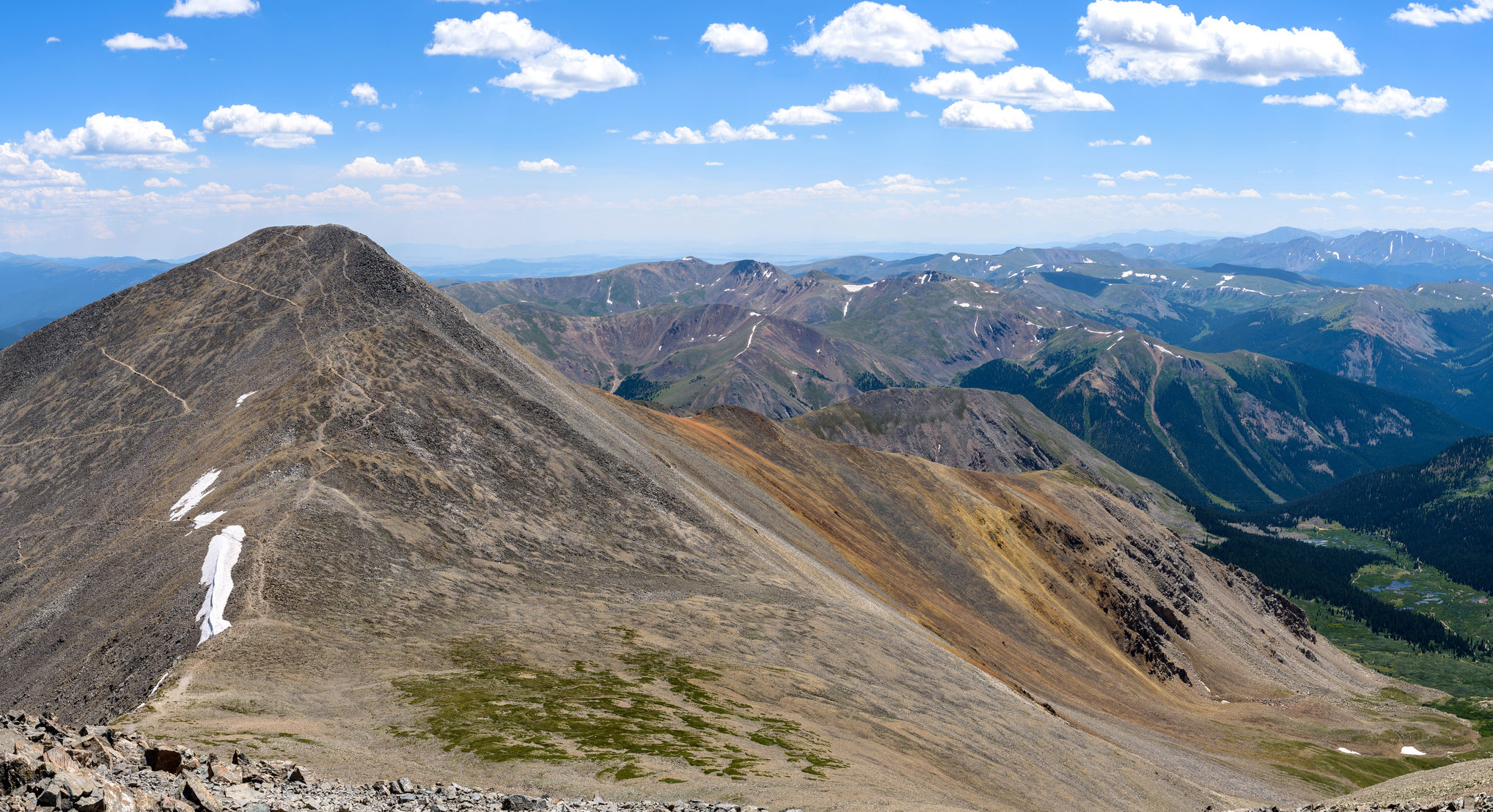
4. Quandary Peak – 14,265 ft
 Quandary Peak via Thinkstock
Difficulty: Moderate
Elevation Gain: 3,300 ft
Round-trip Distance: 6 miles
Round-trip Time: 6 hours
Starting Location: Breckenridge
Quandary Peak — named after a group of miners who were in a “quandary” over a mineral they discovered there — is a great fourteener for summer hikers as well as winter cross-country skiers. Overall Quandary is mild compared to many other mountains. Save up your energy though for two stretches that each climb over 1,000 in less than a mile.
5-7. Mt. Democrat – 14,148 ft, Mt. Bross – 14,172 ft and Mt. Lincoln – 14,286 ft
Difficulty: Moderate
Elevation Gain: 3,300 ft
Round-trip Distance: 6 miles
Round-trip Time: 8 hours
Starting Location: Alma
If you are especially ambitious check off three fourteeners in one day. A loop to hike Democrat, Lincoln, Bross and the unofficial summit of Mt. Cameron starts at Kite Lake. The trails — sitting on private property — have recently been reopened to the public. The summit of Mt. Bross is closed but hikers can reach a point just below the top and still check it off their list.
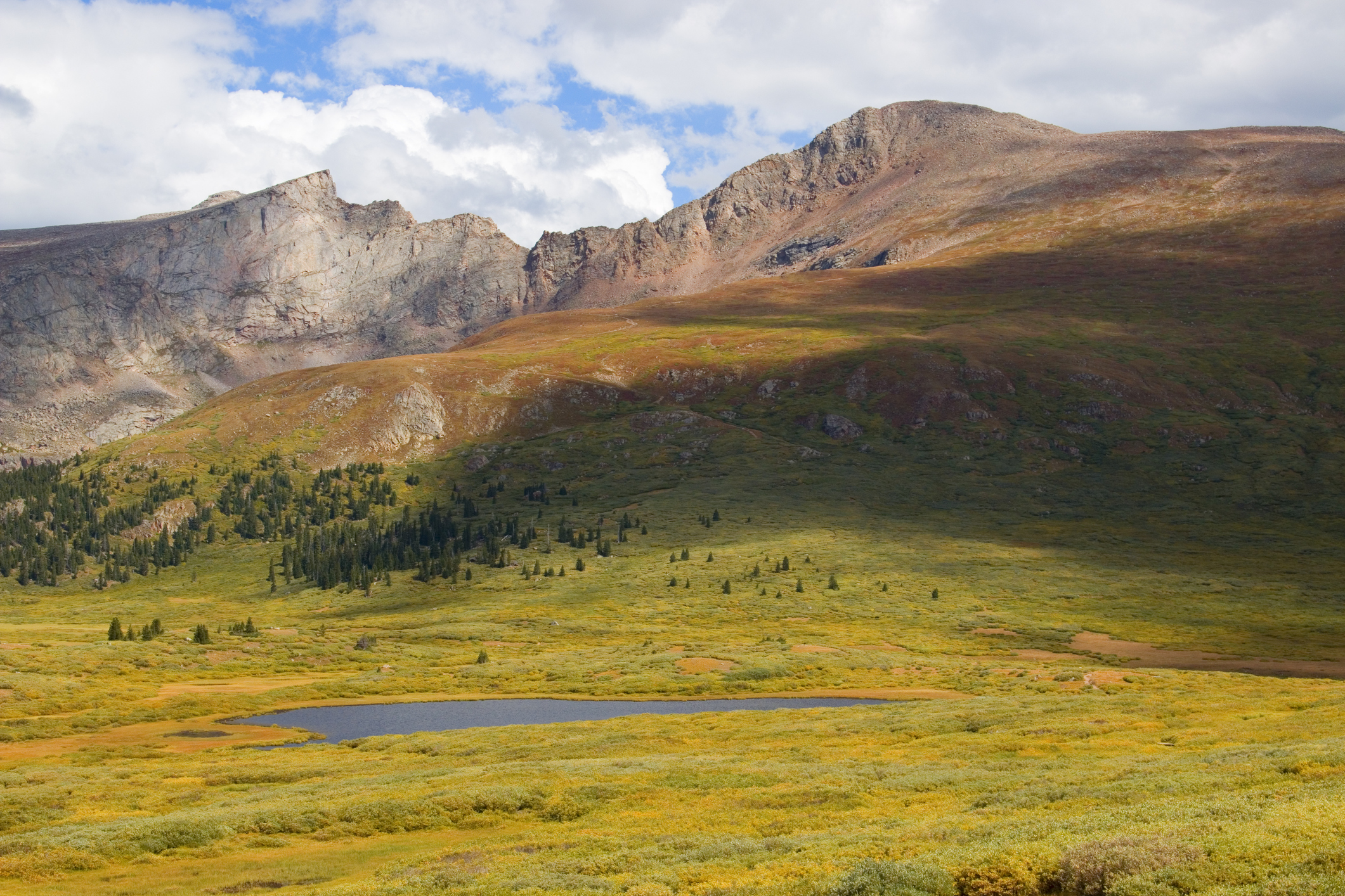
8. Handies Peak – 14,048 ft
 View of American Basin in the Colorado Rocky Mountains. Photo via Thinkstock.
Difficulty: Moderate
Elevation Gain: 3,600 ft
Round-trip Distance: 8 miles
Round-trip Time: 6 hours
Starting Location: Lake City
For a valid summit of Handies Peak start at Grizzly Gulch. The trail crosses a creek, open meadows and dense forests. If you want an easier route, start at American Basin. This route doesn’t climb the necessary 3,000 feet but the trail is possibly more scenic than Grizzly Gulch. Not only does the trail cross a stream but it passes through meadows and offers views of Sloan Lake.
9. Huron Peak – 14,003 ft
 Huron Peak. Photo by Brittany Werges
Difficulty: Moderate
Elevation Gain: 3,200 ft
Round-trip Distance: 8.5 miles
Round-trip Time: 6.5 hours
Starting Location: Buena Vista
The Colorado Fourteeners Initiative considers Huron Peak to have some of the best views in the Sawatch Range. Some of the best views are of the Three Apostles — North Apostle, Ice Mountain and West Apostle. The trail itself is accessible by four-wheel drive only.
10 -11. Grays Peak – 14,270 ft –Torreys Peak – 14,267 ft
 A summer panoramic view of steep north slopes of Grays Peak (14,270 ft), seen from the summit of Torreys Peak (14,267 ft), Colorado, USA. Photo via Thinkstock.
Difficulty: Moderate
Elevation Gain: 3,600 ft
Round-trip Distance: 8 to 9 miles
Round-trip Time: 6 to 8 hours
Starting Location: Silver Plume
The difference between Grays and Torreys is so slim that if you climb one there’s no reason not to climb the other – save weather. It’s about an 1.5-hour drive from Denver to Stevens Mine where the trail starts. Mountain goats have been known to frequent this trail so keep an eye out.
12. Mt. Elbert – 14,433 ft
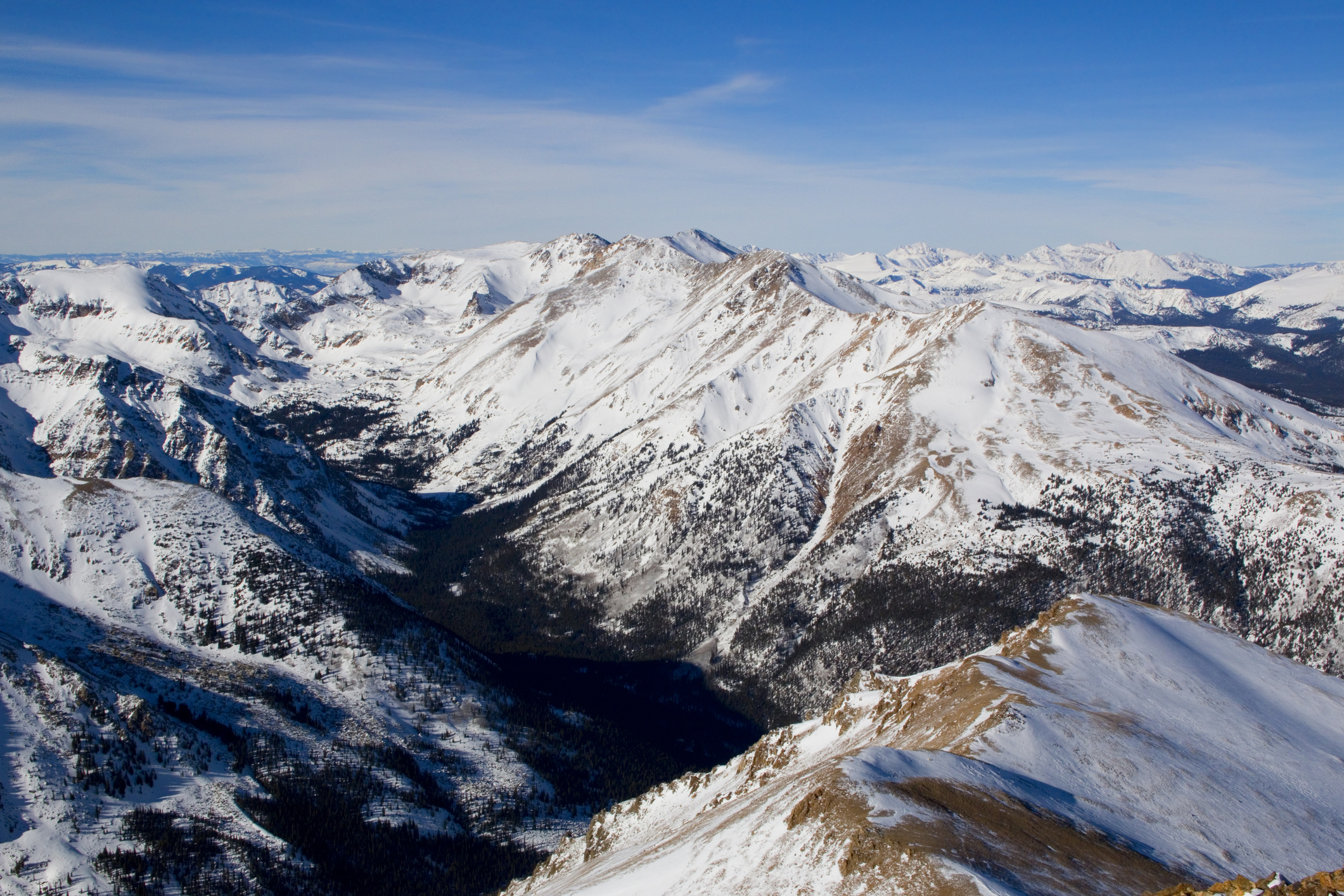 Views of and from the summit of Mount Elbert in the wintertime via Thinkstock.
Difficulty: Moderate
Elevation Gain: 4,400 ft
Round-trip Distance: 10 miles
Round-trip Time: 9 hours
Starting Location: Leadville
Mt. Elbert may be the highest fourteener in Colorado but it is one of the easiest to summit. There are two routes to reach the summit — the Mount Elbert Trail and the Halfmoon Creek route. Whichever route you choose you can get a sneak preview of the Colorado Trail — Colorado’s 486-mile long trail — as it temporarily merges with the routes to Mt. Elbert’s summit.
13. San Luis Peak – 14,014 ft
 San Luis Peak in the Rocky Mountains is one of Colorado’s Fourteeners. Photo via Thinkstock.
Difficulty: Moderate
Elevation Gain: 3,600 ft
Round-trip Distance: 14 miles
Round-trip Time: 14 hours
Starting Location: Gunnison
To climb San Luis Peak you must first find the trailhead — Stewart Creek. It can be tricky to navigate the dirt roads to the small parking lot and the 14-mile round-trip distance makes for a long day. Don’t let the mileage stop you though. The climb itself is fairly mild and the trail converges with the Continental Divide Trail for a part of the way.
[googlemaps https://www.google.com/maps/d/u/0/embed?mid=19xFuPEwROTrqChuBuezB7xeMsCk&w=640&h=480]When you reach the top of your chosen mountain be sure to add your name to the registry to forever be listed among those who have conquered a fourteener.
Can my 11 year old handle a hike up Mt. Elbert? She is into sports so is active but we are coming from Texas so not used to elevation.
That’s a tricky answer because while these are beginner 14ers, no fourteener is easy. Also, the elevation can be tough even for people in Denver.
Your mileage is way off for quandary. It’s 11 miles round trip.
Hi Casey! Thanks for commenting. The exact round trip mileage ranges from 6.2 – 6.8 miles, depending on who you ask, which does come out to about 11 kilometers. But the exact starting point — whether from the trailhead or further down — changes that mileage too. I know I like to park a little further down on some hikes to add a few extra miles! Is there a fourteener you recommend people to start on?