


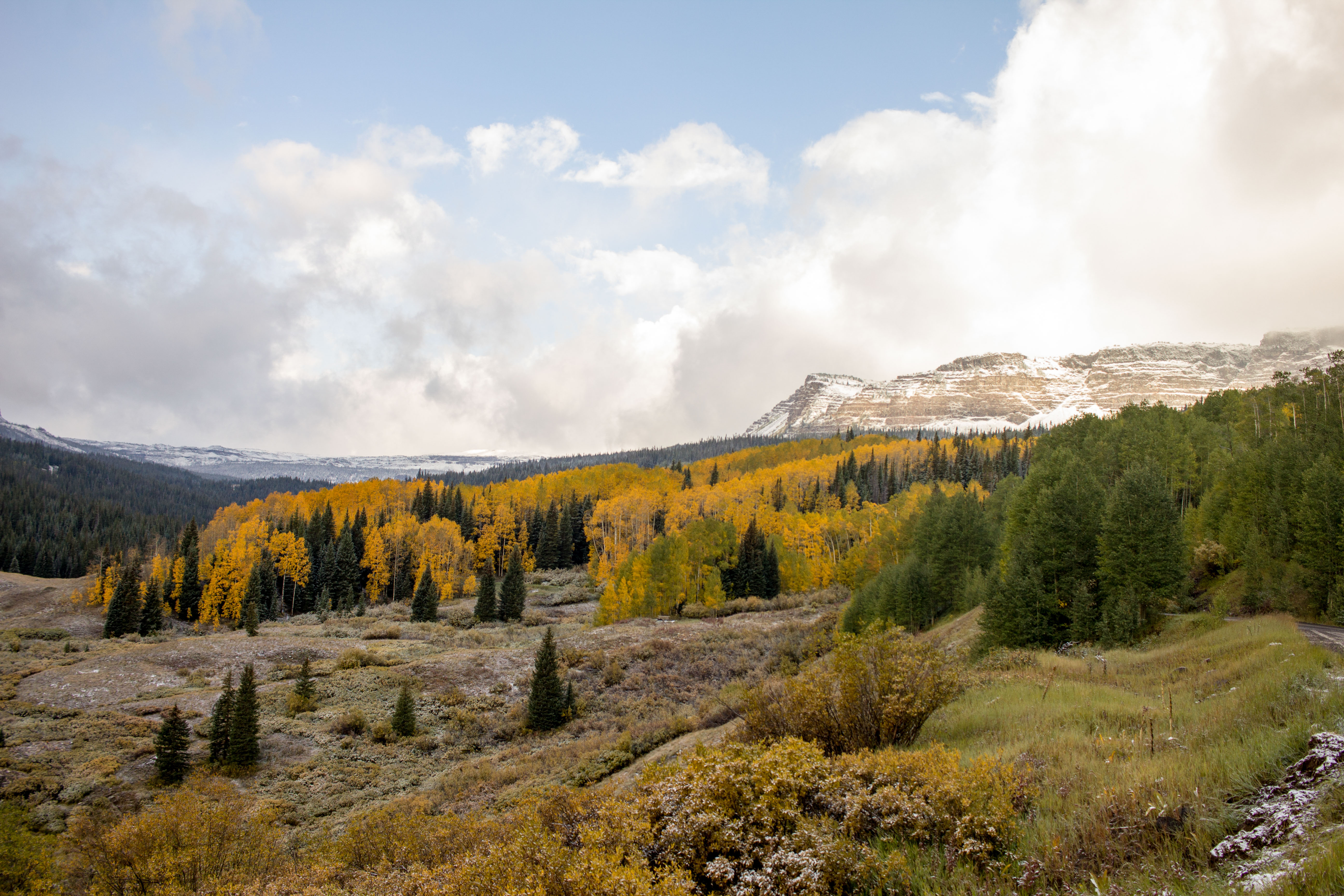
Devil’s Causeway is a narrow land bridge located in the Flat Tops Wilderness. The strip of lands narrows to under four-feet across, flanked by sheer drops on either side. For hikers and those interested in seeing a spectacular natural feature, the Causeway is a great opportunity to explore the Flat Tops and see something truly unique.
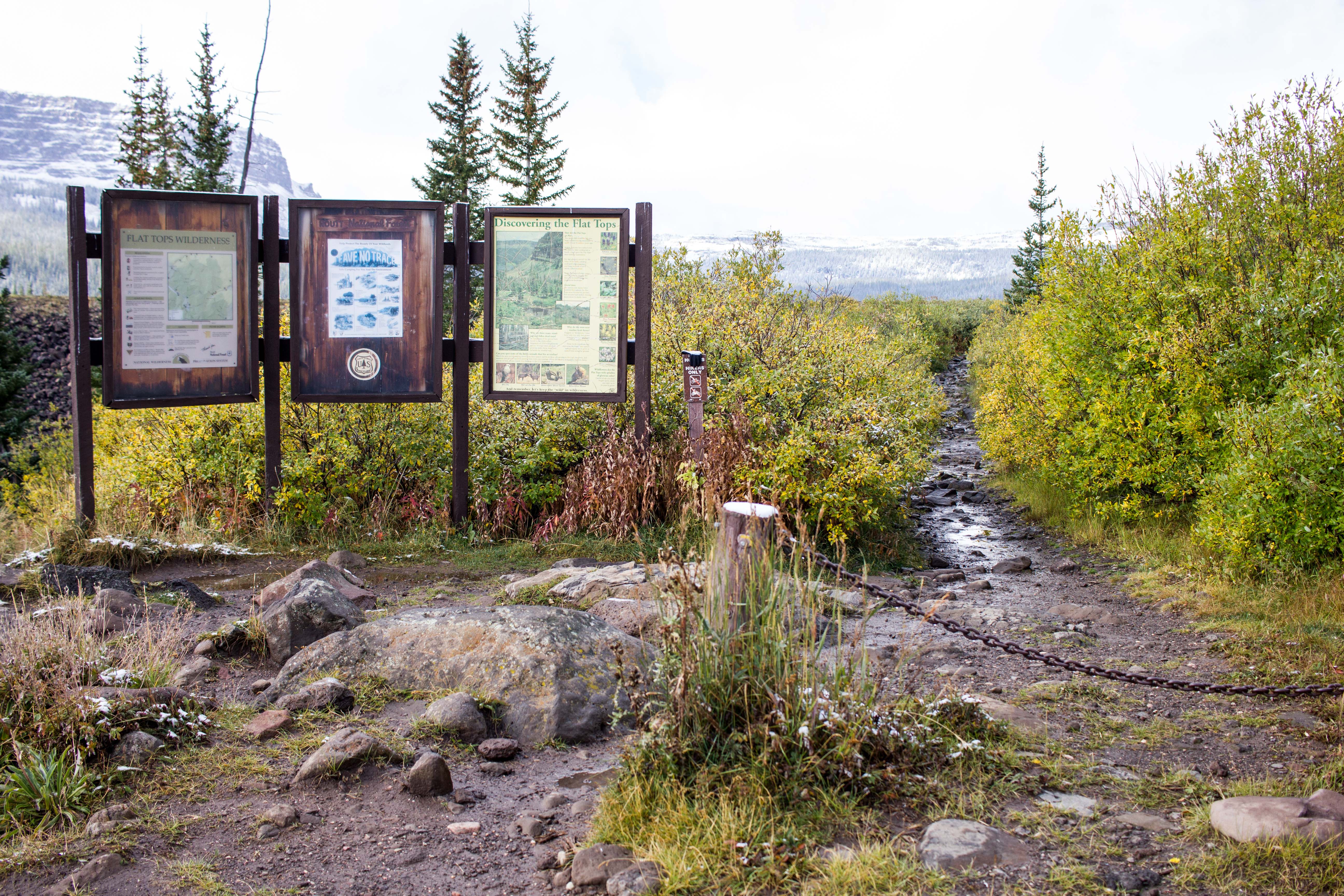
Located between Steamboat and Wolcott, Devil’s Causeway is a little of three-hours from Denver. Hopping on I-70, you will head west to Silverthorne taking CO-9 to CO-134 W in Grand County. From CO-134 W you will take CO-131 N through the town of Yampa and connect with CO Road 7 (Moffat Ave.) then onto Forest Road 900. Forest Road 900 is a well-maintained dirt road. In late season, it may be quite muddy but is relatively flat when compared to most trailhead roads. Forest Road 900 leads to the Stillwater Reservoir and an established trailhead.
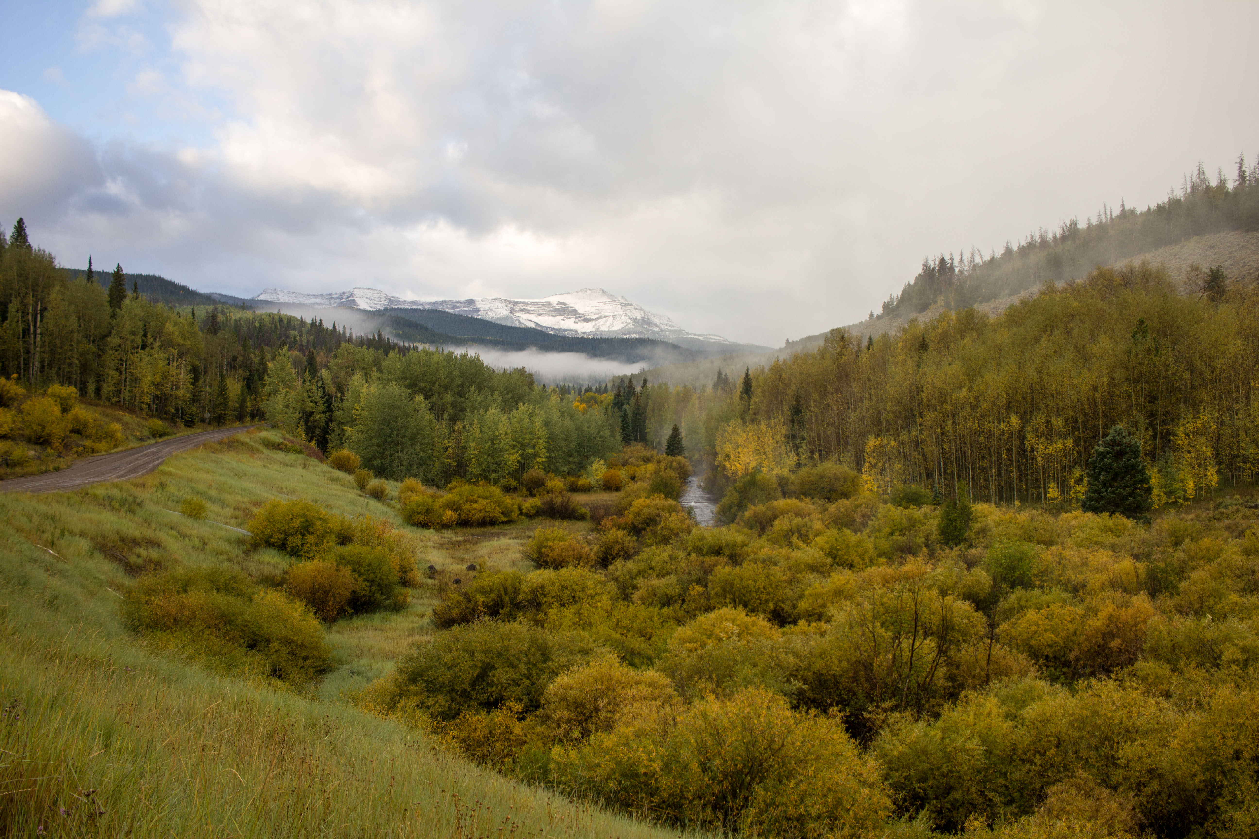
Stillwater Reservoir is the easiest access point to Devil’s Causeway. From the trailhead parking lot, you will start on the East Fork Trail 1119 and follow this trail along the north side of the reservoir. This first section of the trail opens up to spectacular views of the reservoir and Flat Tops Wilderness across the water.
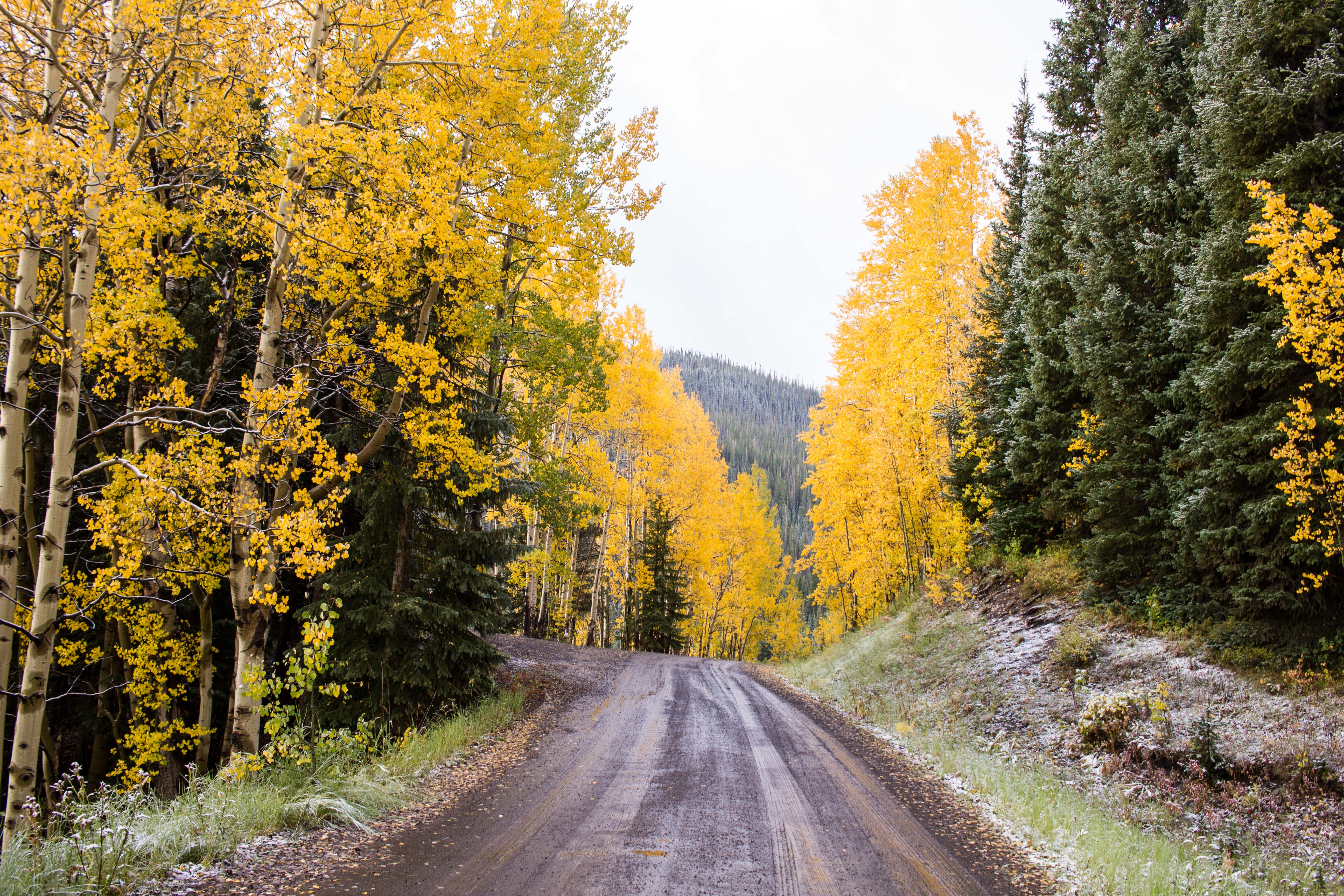
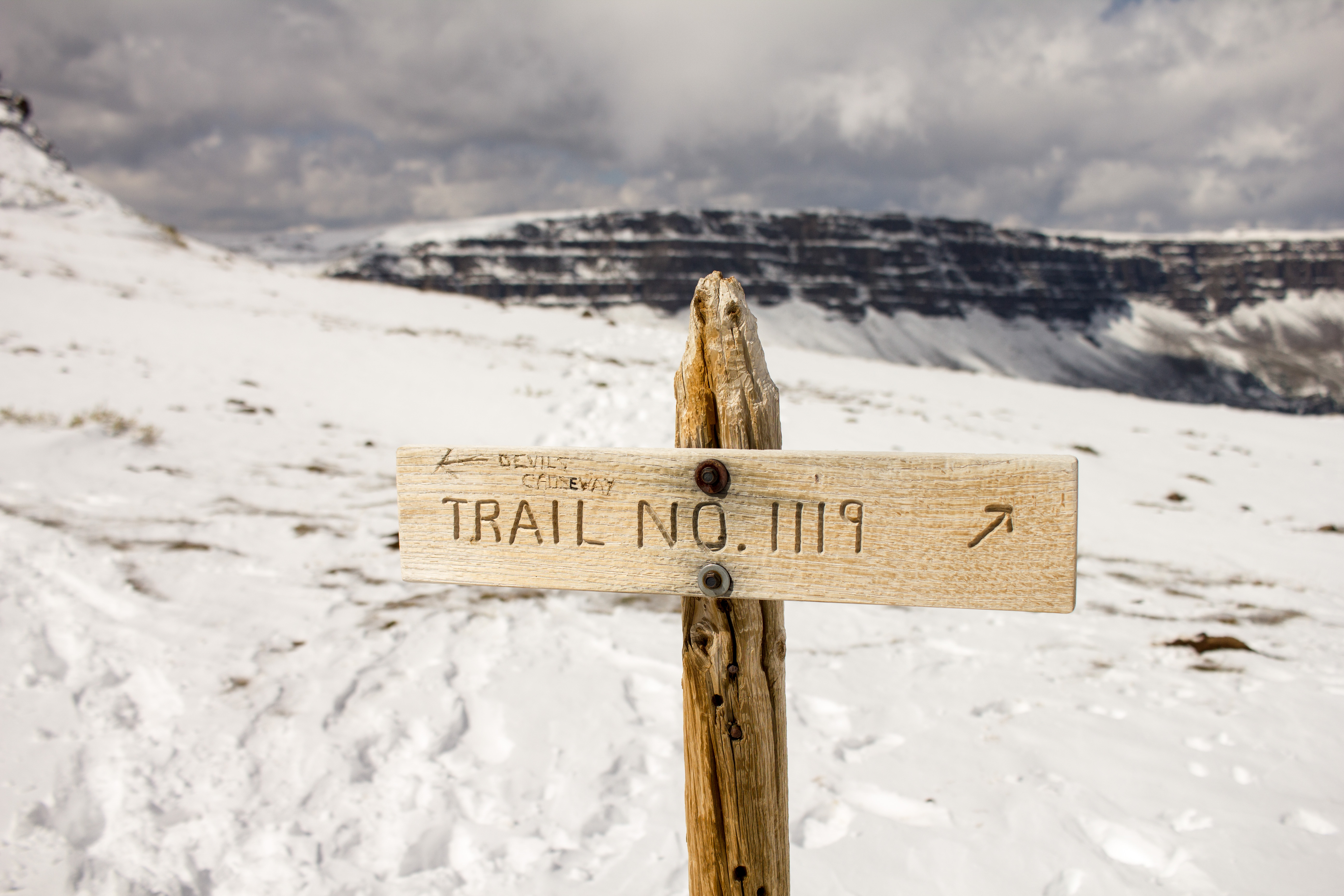
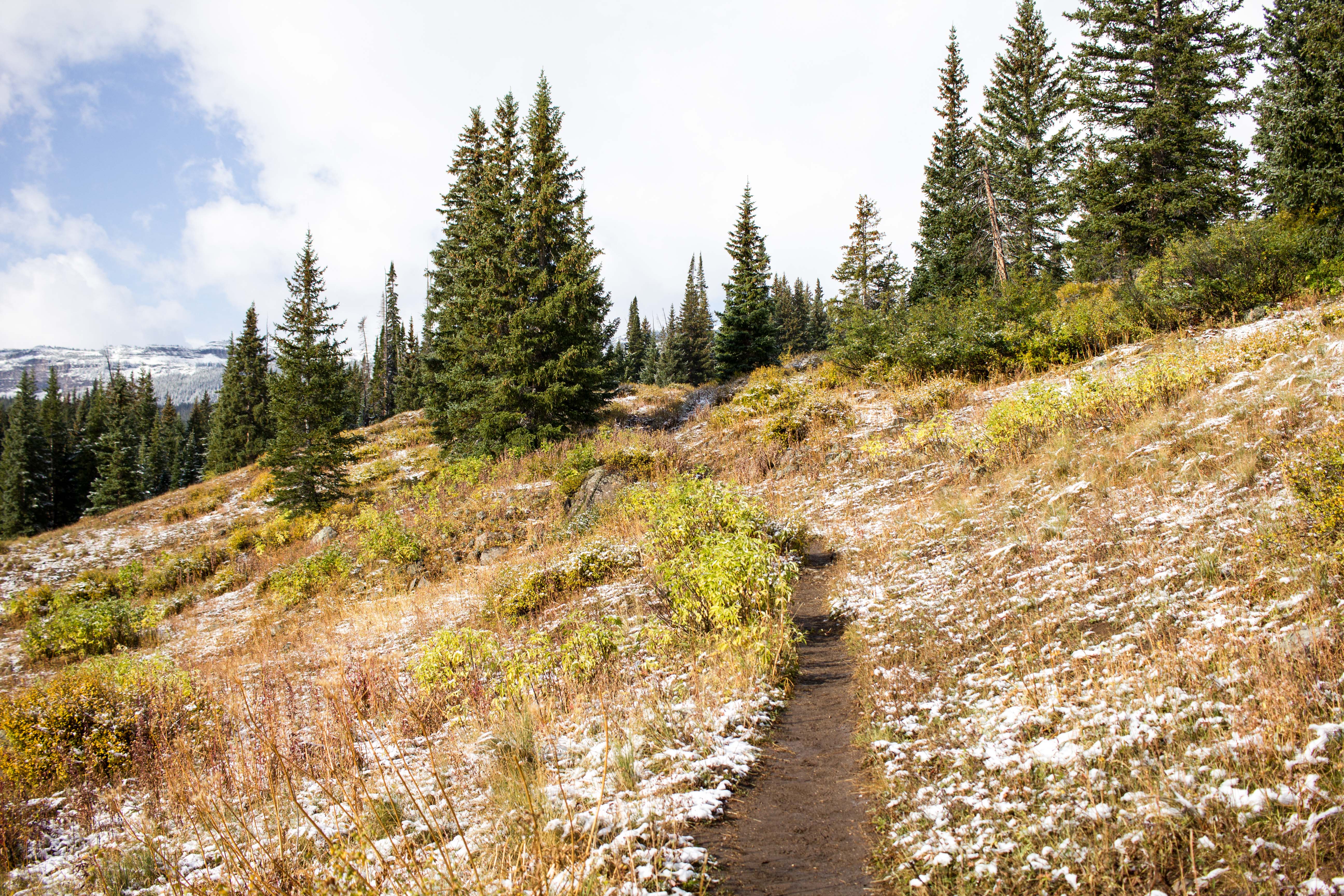
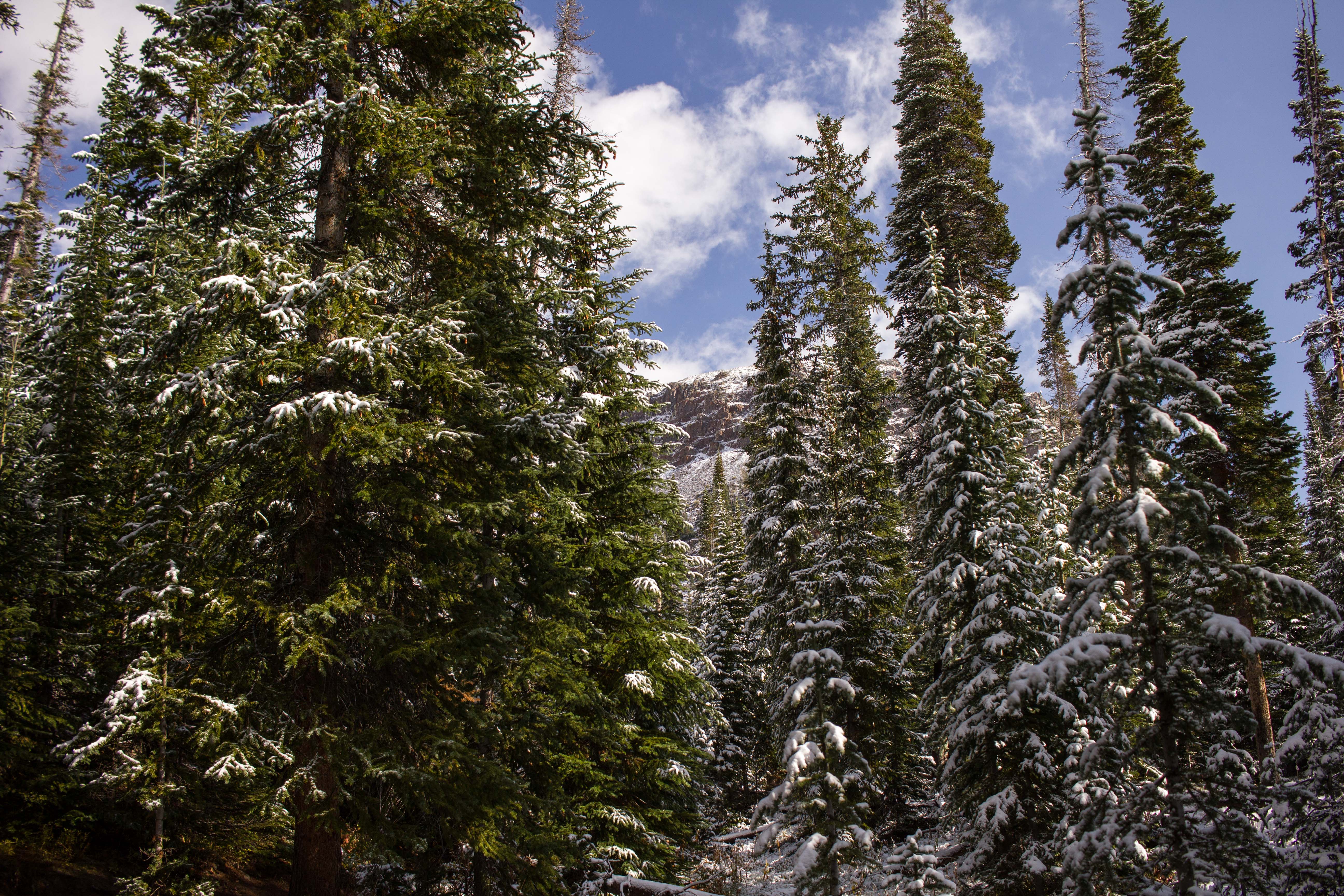
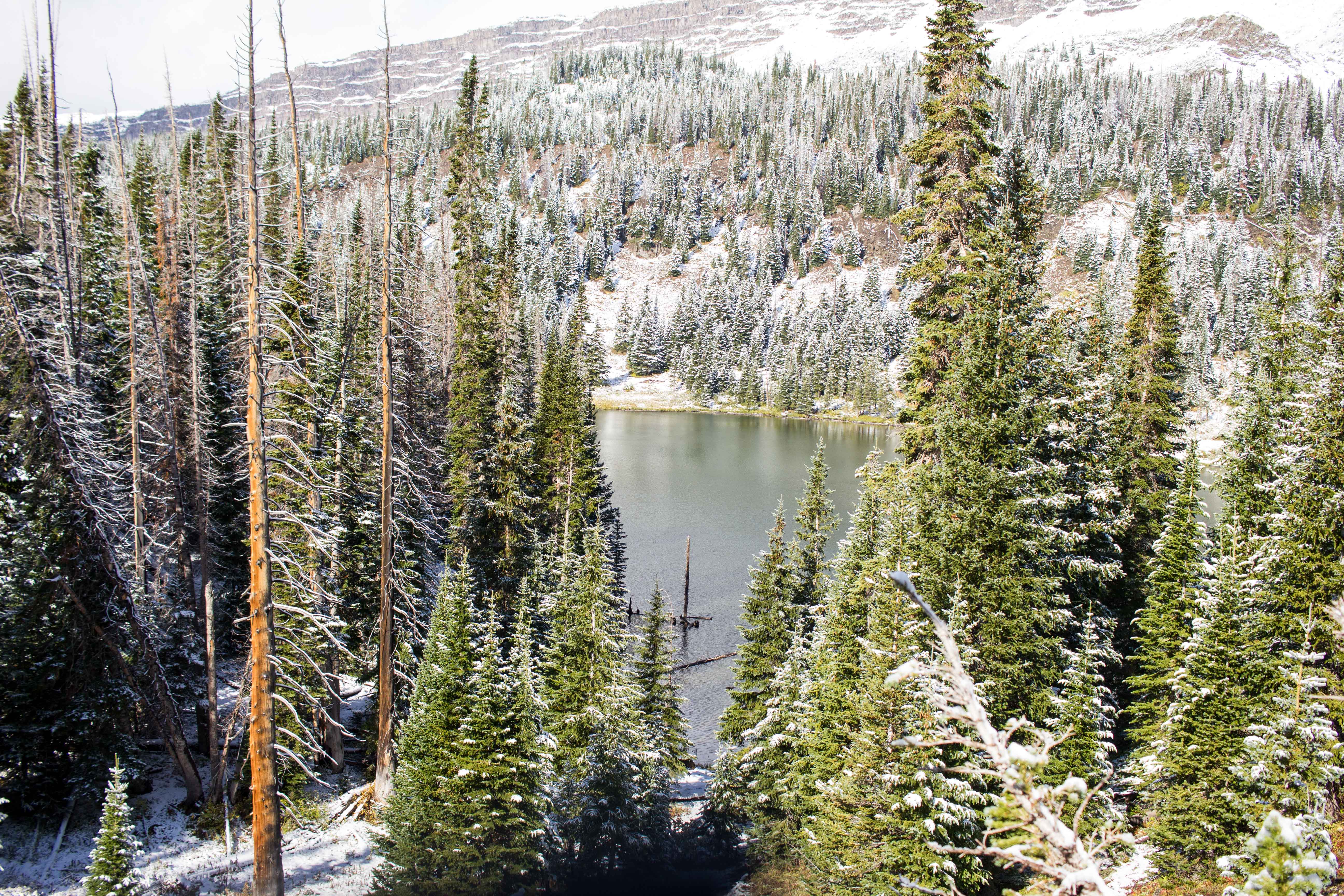
Once you round the reservoir and head into the trees you reach a fork in the trail, stay on East Fork Trail labeled as 1119 on the wooden sign. You will continue on this trail past Little Causeway Lake, at which point the trail will begin to steadily increase in steepness. Passing the lake, the trees will begin to thin and give you a good view of the ridge-line leading to the Causeway. From this point forward you will begin a series of switchbacks taking you up to the ridge-line. The switchbacks are steep and if you are hiking this later in the season trekking poles or Yaktrax will be helpful.

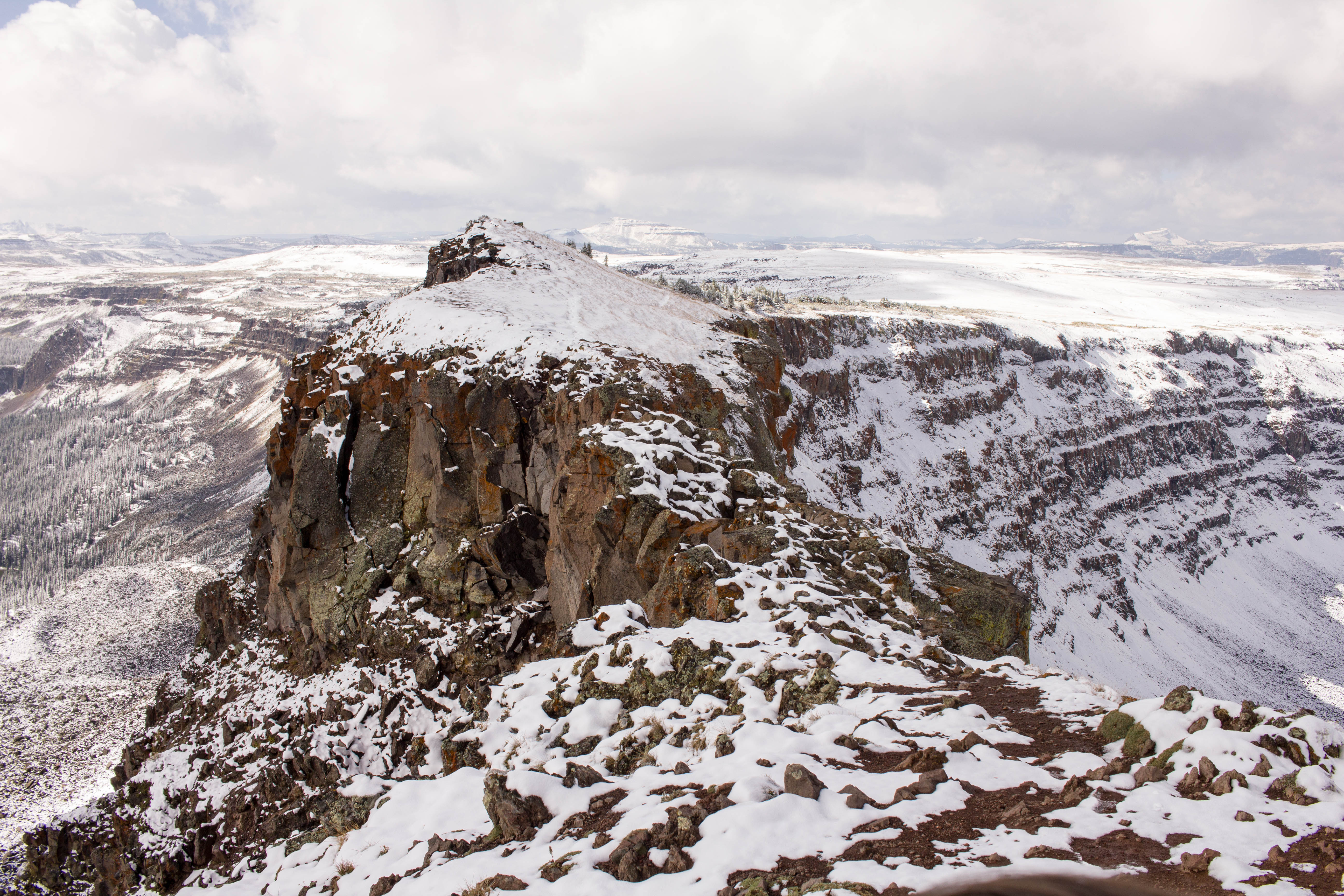
Reaching the ridgeline, you will be greeted by a wide-open view of the Flat Tops Wilderness and a wooden sign. The signs points hikers right to continue along East Fork Trail, but Devil’s Causeway will be to your left. Someone must have taken exception to this sign, and carved an arrow with “Devil’s Causeway” pointing toward the land bridge. This will be the only point in the hike to the Causeway that you do not follow East Fork Trail 1119. Follow the make-shift arrow to the left. Taking a left at the final sign, you will climb a short but very steep section leading to Devil’s Causeway. At the time of our hike, we were welcomed by shin-deep snow, time-traveling us into winter. This last steep has several stairs built to help you reach the top, but be aware of mountain weather conditions and plan accordingly.
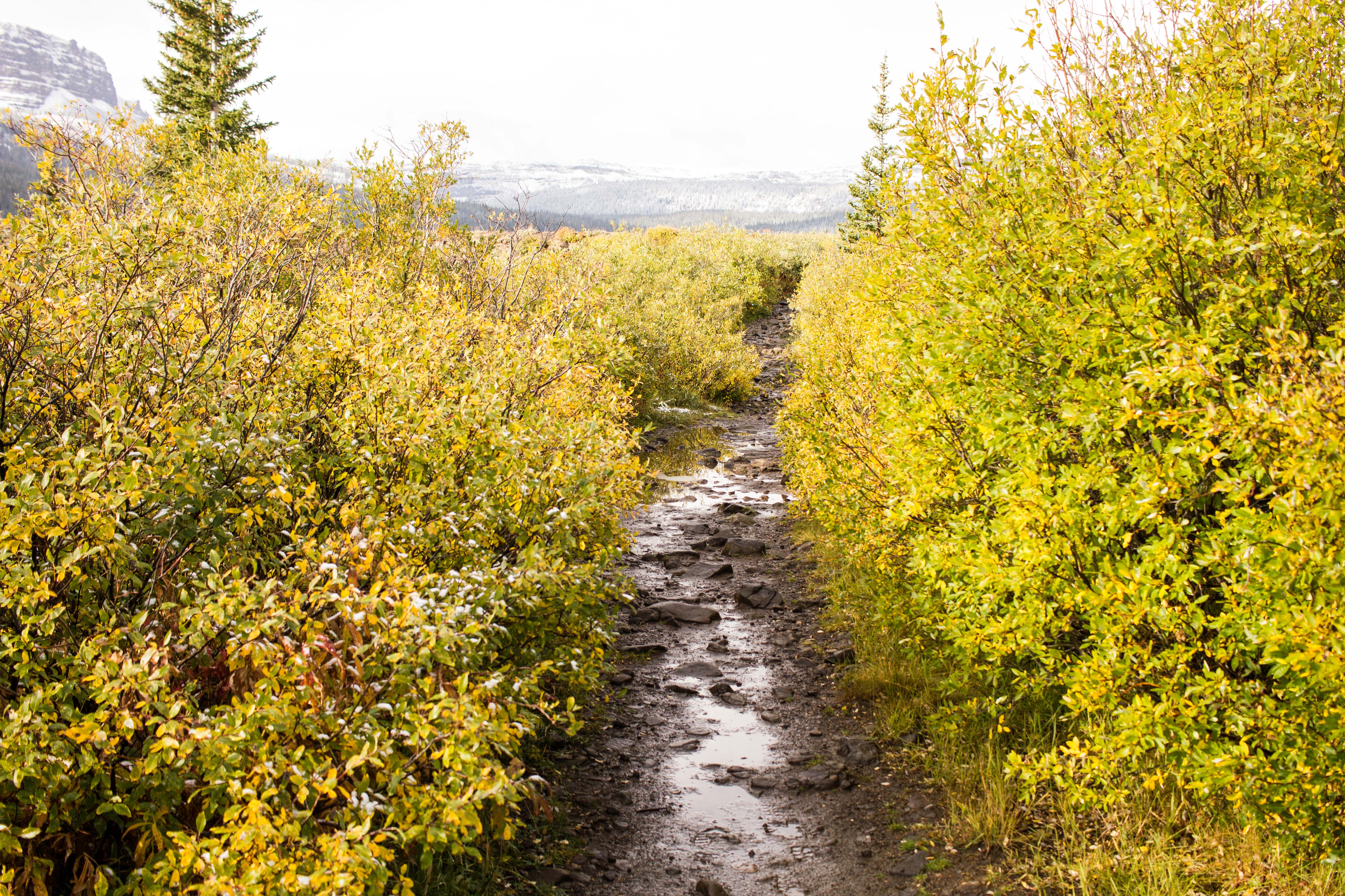
The Causeway will be visible after completing this last section, opening to vast views on either side and the land bridge directly ahead of you. The land bridge narrows to just under four feet in the middle and is approximately 50-feet long. For those with a fear of heights or vertigo stand back from the land-bridge, but for adventure seekers looking to cross you can turn the hike into a 10-mile loop.
The out and back hike to the Causeway is six-miles, with the last mile being the steepest. For those looking to loop back to Stillwater Reservoir, cross the Causeway and follow Mosquito Lake Trail back to the parking lot.
All photographs by Josh Headley