


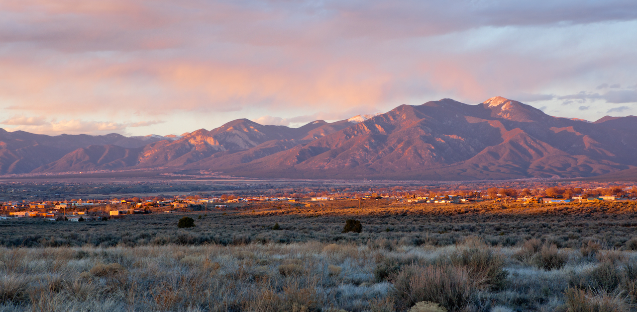
Looking for a fresh, exciting and safe getaway from home without having to travel too far? Just a four-and-a-half-hour drive from Denver is the oasis of Taos, New Mexico. Taos is a well-loved destination, and many of its attractions can be safely enjoyed during the pandemic.
Black Rock Hot Springs
The Lowdown: These natural hot springs are north of Taos. The pools are primitive and rock-bottomed — a departure from more developed ones you’d find in Pagosa or Glenwood Springs. They’re an easy 0.3-mile walk along the Rio Grande from the closest trailhead. Temperature and water levels are highly dependent on the river run-off and time of year. Both pools are free of charge and clothing optional.
How to find it: Head north out of Taos on US 64, continue to NM 522 and turn left on County Road B-007. Cross the John Dunn Bridge, park at the first switchback and make your way downstream to the pools.
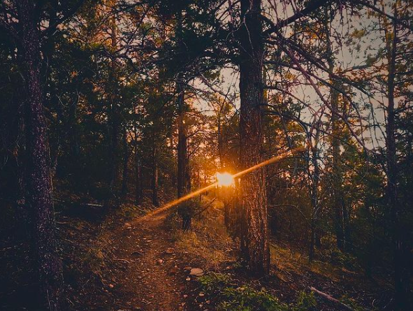
Italianos Canyon Trail
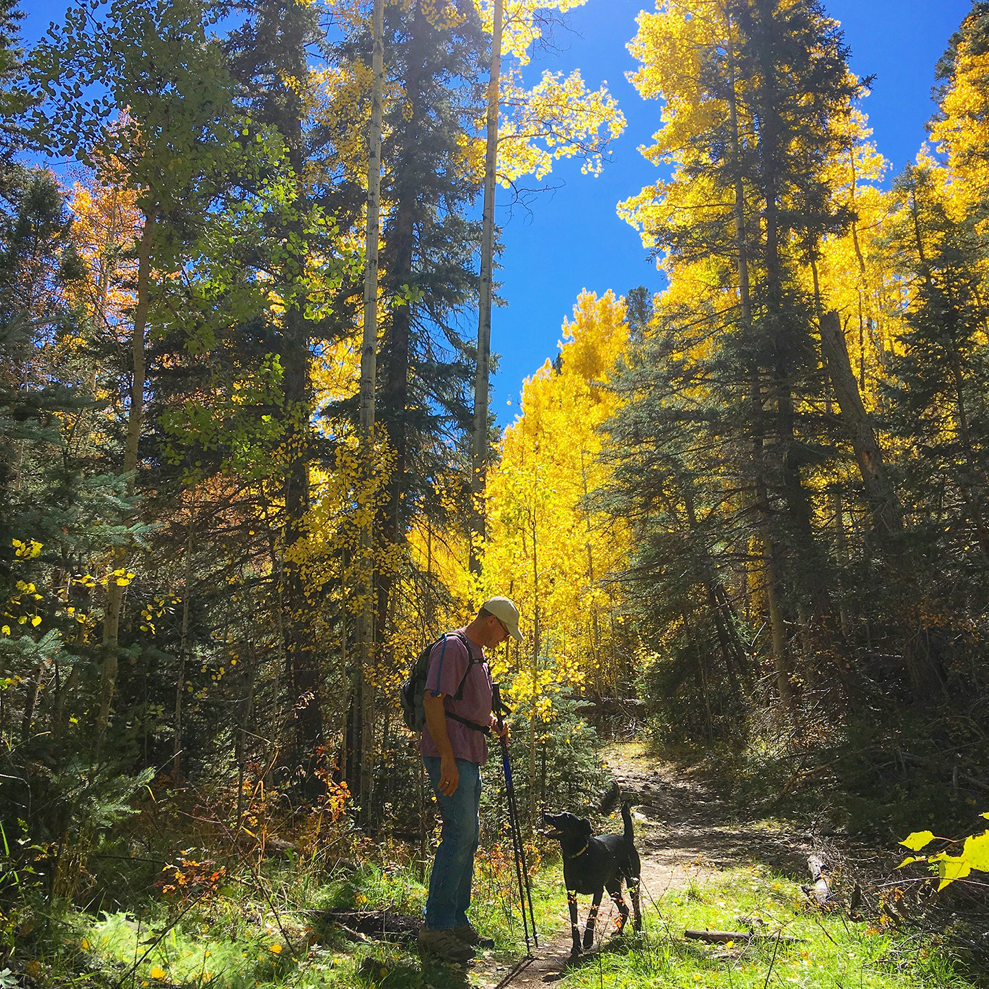
The Lowdown: This trail through Italianos Canyon follows a creek and measures about 3.5 miles. Waterproof shoes are recommended as the trail crosses the water a few times. This hike also provides access to Lobo Peak, Gold Hill and Flag Mountain.
How to find it: The trailhead is located on NM 150, about 3 miles east of Cuchilla campground (just outside of the Ski Valley.)
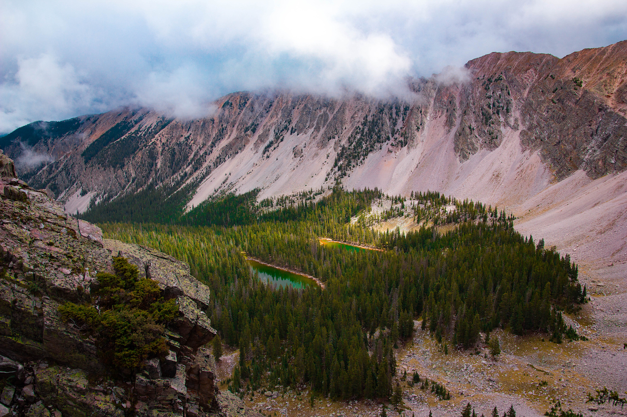
Williams Lake
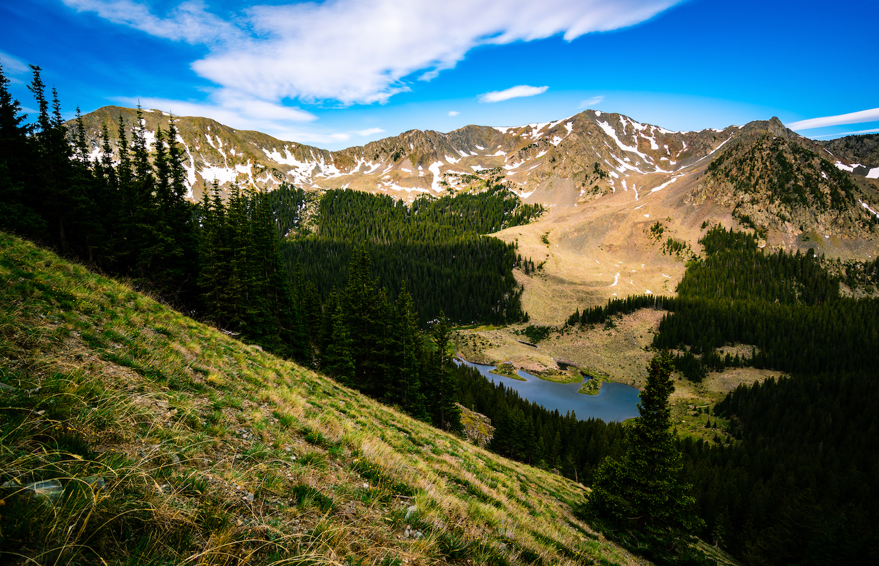
The Lowdown: Wheeler Peak is the highest point in New Mexico and this stunning lake sits about halfway up the mountain at around 11,000 feet. Visitors can hike from the ski valley to Williams Lake and back for a day trip, or turn it into an overnight by camping at the lake and submitting the peak the next day. The summit is relatively challenging and gains about 2,000 feet in a little over two miles.
Where to find it: Take NM 150 into Taos Ski Valley. Take a right onto Twining Road (turns into Thunderbird Road and then back to Twining,) a left onto Zap’s Road, continue on Porcupine Road and turn right onto Kachina Road. Kachina Road turns into Bluejay Ridge—the trailhead is on the right.
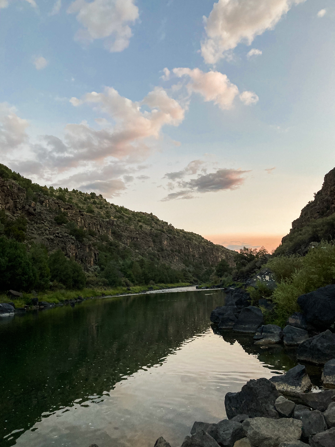
The Slide Hike
The Lowdown: The majority of this moderately difficult hike is a wide dirt road. The trail got its name after a large landslide buried a section of NM 570 about 25 years ago. It’s since been improved by the BLM and no longer requires hikers to scramble over big boulders. The trail follows the Rio Pueblo de Taos just before it converges with the Rio Grande.
How to find it: There are two trailheads — find the lower one is just down the road from the Taos Junction Bridge and the Orilla Verde Recreational Area (near the intersection of NM 567 and NM 570.) To hike down from the upper trailhead, start at the end of county road 110 past the UNM Klauer campus (near the Rio Grande del Norte National Monument parking.)
El Salto Falls
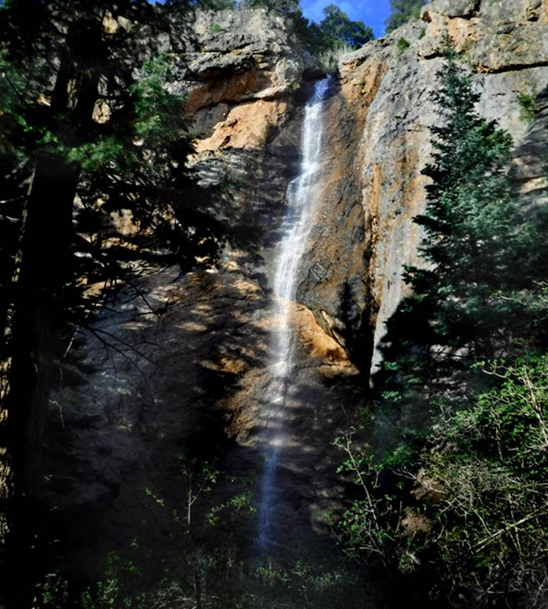
The Lowdown: These falls are the most well-known destination in the El Salto area just outside of Arroyo Seco. El Salto’s history is full of myths and lore. Some connect the falls to the Taos Hum — an elusive low-frequency sound or vibration reported by some residents. Many also say that the falls are the inspiration for the setting of part of “The Woman who Rode Away” by D.H. Lawrence, who lived in New Mexico while writing the novella. The hike itself is only about 1/4 mile but results in dramatic views of several waterfalls. To enter, a $5 fee must be paid to the El Salto de Agua Land Grant — instructions can be found on the trail marker or online to pay in advance via PayPal or Venmo.
How to find it: Head north out of Taos on US 64 to NM 150, then continue straight all the way to the end of El Salto Road to find the parking lot.
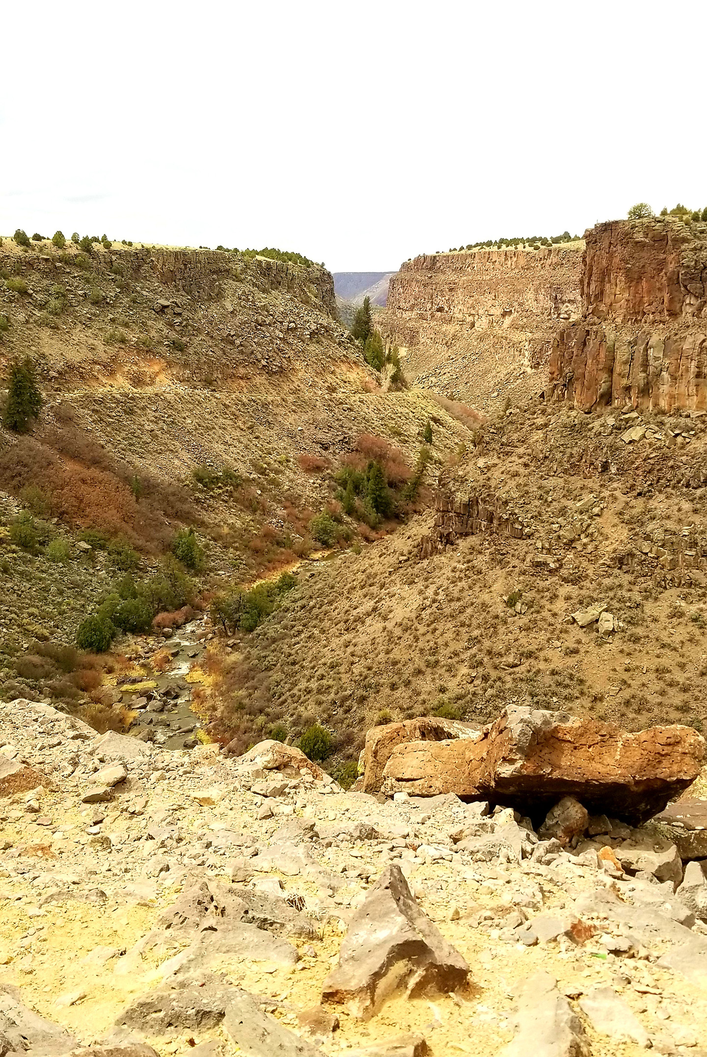
West Rim Trail
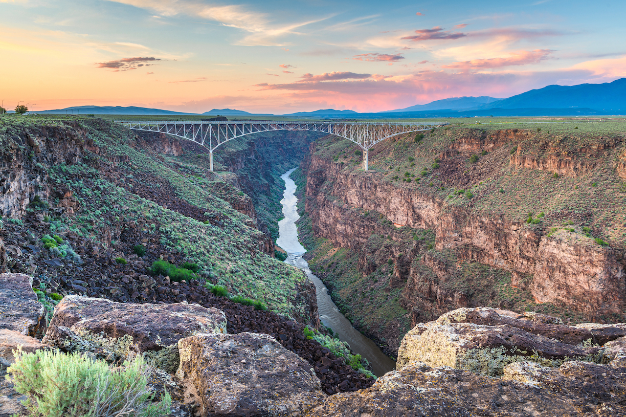
The Lowdown: The entire West Rim trail is about 10 miles, out-and-back. There’s minimal elevation gain, though, and hikers can make it a shorter hike by turning around wherever they’d like. New Mexico is full of labyrinths, and a particularly spectacular one sits near the Rio Grande Gorge on the West Rim Trail. The labyrinth has a breathtaking view, and the elevation isn’t too high — good for beginners looking not looking for a particularly strenuous hike.
How to find it: Just west of the Gorge Bridge, find the beginning of the trail at the Rio Grande Gorge Rest Area off of US 64. To go towards the labyrinth, head south on the trail, stay to the right and walk another half mile to find the labyrinth and a wooden post of prayer flags.
Trampas Lakes
The Lowdown: Though the Trampas Lake hike is recommended for more experienced hikers only, those up for the challenge are rewarded with some of the best vistas in New Mexico. Hiking all the way to the top includes passing two alpine lakes and reaching a beautiful view. Wheeler and Truchas Peaks can both be seen from the top. Because of its difficult grade, the trail is generally blessed with low traffic levels. The entire hike is about 11 miles out-and-back with a 2,400-foot elevation gain.
How to find it: This hike is a bit south of Taos but worth the drive — if you’re going in the winter, make sure that you have a decent amount of clearance on your car as the road can be challenging. Follow NM 518 from Taos to Truchas, take a right onto NM 75, then left onto NM 76. In Truchas, turn onto Forest Road 155, then keep left onto Forest Road 639. Drive until you cross the Trampas River and find the trailhead just a quarter of a mile after the bridge.
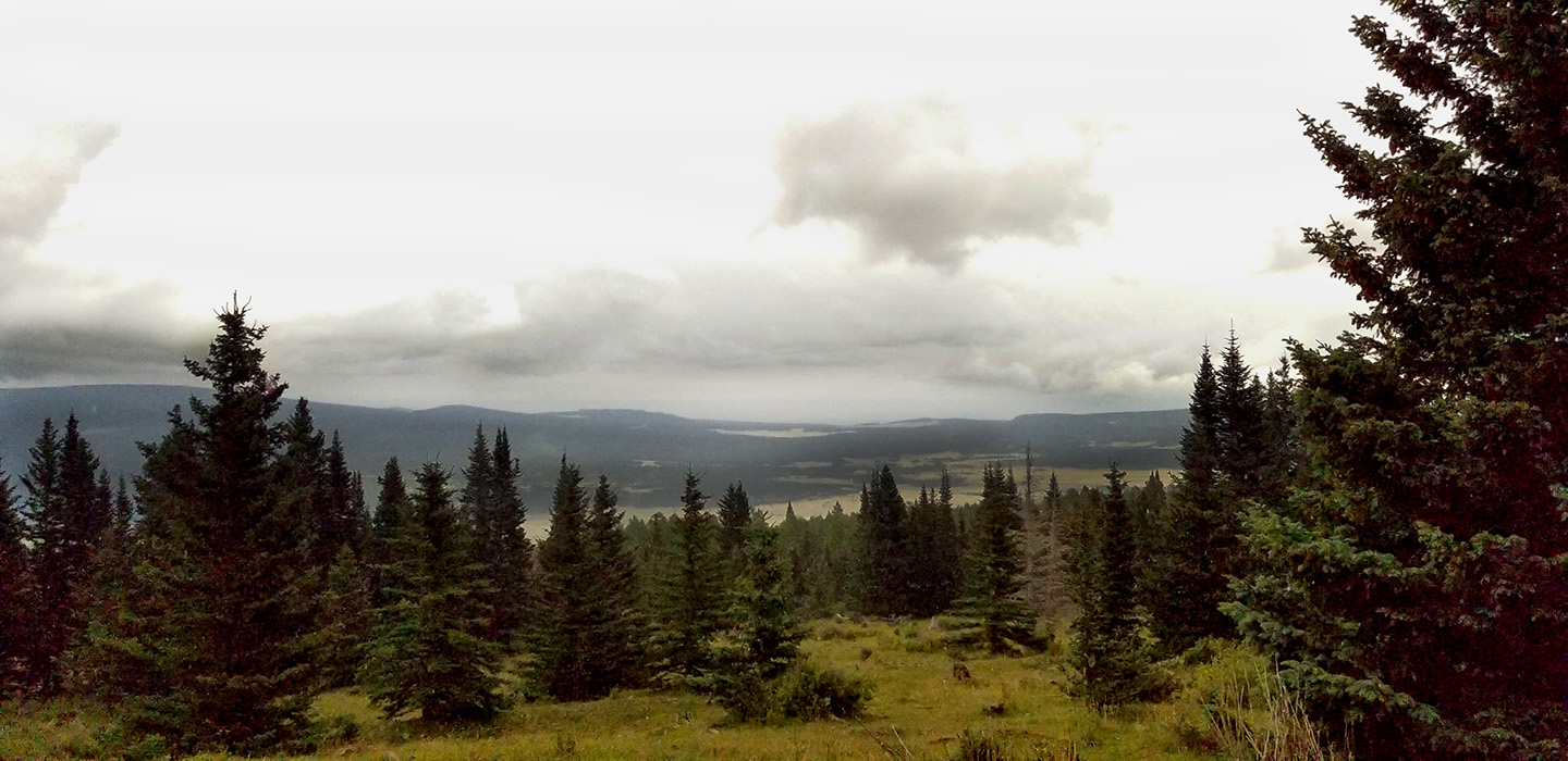
Devisadero Loop Trail
The Lowdown: This intermediate/ difficult trail lies in the foothills of the famous Sangre de Cristo mountains. Juniper and piñon tress decorate the beginning of the hike, with Douglas and white fir forests lining the trail closer to the summit. The eastern route is steeper and rockier with the western side being longer and more relaxed — the loop can be done either way.
How to find it: Parking for the trail is about three miles east of Taos on US 64. Look for the El Nogal parking area.
Oeste Vista Loop
The Lowdown: This loop trail clocks in at about 2.5 miles and is considered moderate in difficulty by most hikers due to the steepness and elevation gain in some sections. The trail has a fair amount of shade and a few picnic tables along the way, making it a good choice for a hot day. The surrounding Angel Fire area is a local favorite for mountain biking, running, and cross-country skiing in the winter.
How to find it: From Taos, head east on US 64 and turn right onto NM 434 in Angel Fire. The trailhead is off of NM 434, across the street from the Angel Fire Resort Golf Course.
Gavilan Falls
The Lowdown: The nature around Taos Ski Valley is full of beautiful waterfalls. This steep trail is not for the faint of heart and will be a welcome challenge for experienced hikers. After the falls, the Gavilan Trail continues to a lovely meadow and wonderful views at Lobo Ridge. The entire out-and-back journey is 2.8 miles.
How to find it: Start at Forest Trail #60 (Gavilan Trailhead) near mile marker 13 on NM 150.
—
With pandemic restrictions lifting, remember to check the local guidelines for any updates before you travel to respect the land and community at your destination.