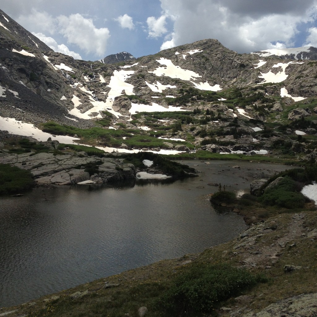
McCullough Gulch Glacial Lake
When wild life is left alone and out of the way of development it thrives. It simply cannot help it; this is nature’s default setting. Left alone to its own devices, wild life flourishes. Luckily you can witness this phenomenon just outside of Denver at McCullough Gulch. The McCullough Gulch Trail is a hidden gem and ends in spectacular views of cascading waterfalls and a glacial lake on the south side of Mount Quandary. Plus you have to pass thru the town of Breckenridge to get to there.
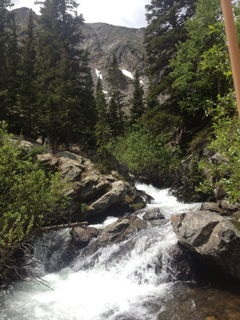
McCullough Gulch Falls
I recommend you hit the trail early in the day to avoid crowds and to catch the best natural light for photos. For extra inspiration leave the trail head around 5am and catch the sunrise over the eastern peaks at around 5:40-5:50 am. The valley slopes down toward the east away from the lake at the top of the trail, allowing you to witness the valley fill with the first rays of light.
Not quite the morning type, don’t sweat it. Locate the trailhead by heading south down Highway 9. Once you have passed Breckenridge continue on Highway 9 for 7.6 miles and take a right onto Blue Lakes Drive #850. Continue till you run into McCullough Gulch Road #851 and turn right. Follow this dirt excursion about 2 miles and make sure to keep left when the road splits, you will end at the trailhead.
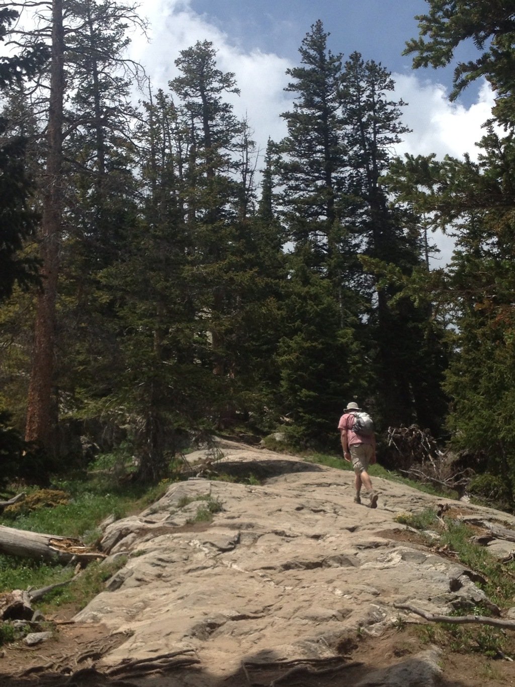
Hiking at McCullough Gulch
The McCullough Gulch trail is only 2.8 miles round-trip but it scales very steep terrain as you follow old mining roads and the plunge of the falls from bottom to top. The soothing soundtrack of the water can be heard about ¼ of a mile into the hike, as you cross the river almost immediately. It’s a great reminder of the rewarding views that lie ahead. Follow the foot path uphill; be sure to look back down the valley over your shoulder for amazing views. Half way into the hike the trail will turn into a slick rock, boulder field combination. Look for the cairns marking your path to the top. I ran into a snowfield around the last 1/8 of a mile that is blocking the path, so the last part of the trail relies on your bushwhacking abilities to get to the top. If you get the feeling of being lost just keep climbing to the “perceivable” top and you will end up at the lake.
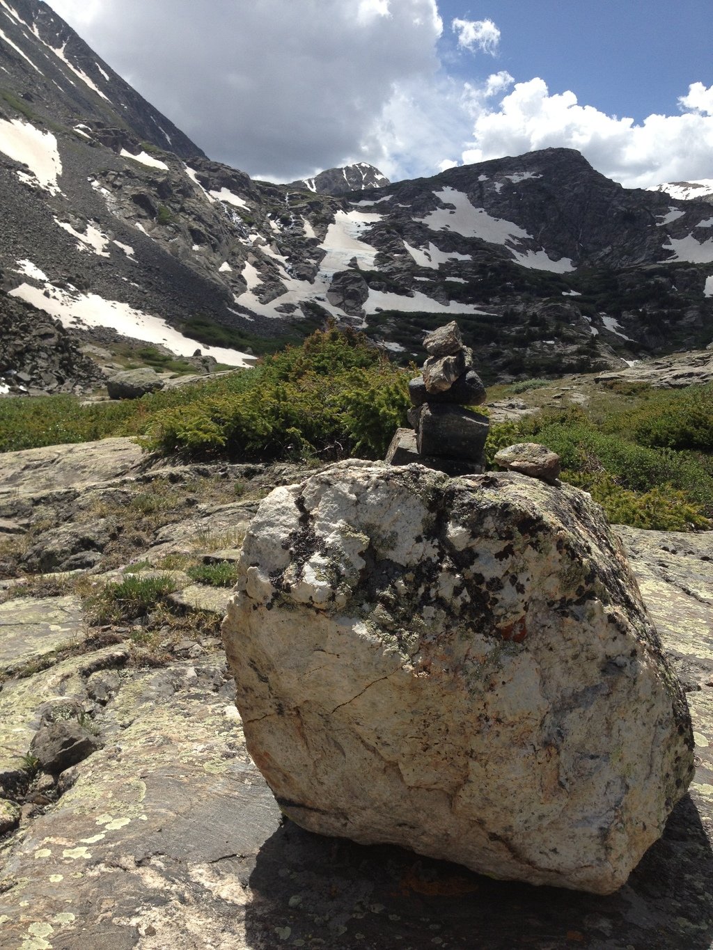
Trail Cairns
The waterfall starts on the far side of the lake, all the way from the top of the ridge line. This untouched landscape looks almost unreal and superbly green and lush with wildflowers everywhere. Surrounded by the alpine tundra above timberline, the vast valley allows you to see multiple peaks and miles. Be sure to pack accordingly to the daily weather as you are fully exposed to the elements. There are many trails around the lake so feel free to explore. Along the descent take one of the various side trails that stem toward the falls. These trails offer great views of the water and cliff side and all eventually lead back to the main foot path
Finish your day with a spontaneous pit stop in town for lunch or one of the many happy hours located all along main street in Breckenridge.
The Deets:
How far?
- 10 Miles south of Breckenridge
Where to park?
- McCullough Gulch Trailhead located at the end of McCullough Gulch Road #851, the parking area is small feel free to park along the shoulder
Trail Mileage?
- 2.8 Miles round-trip
Elevation?
- 11,000-11,900 Ft.
Elevation Gain?
- 900 Ft.
Difficulty?
- Moderate
Features?
- Hiking, Snowshoeing, Dogs allowed, Photo-OP
Extra goodies?
- Breckenridge, Waterfalls, Glacial Lakes, Blue River, Forest, Boulder Fields